
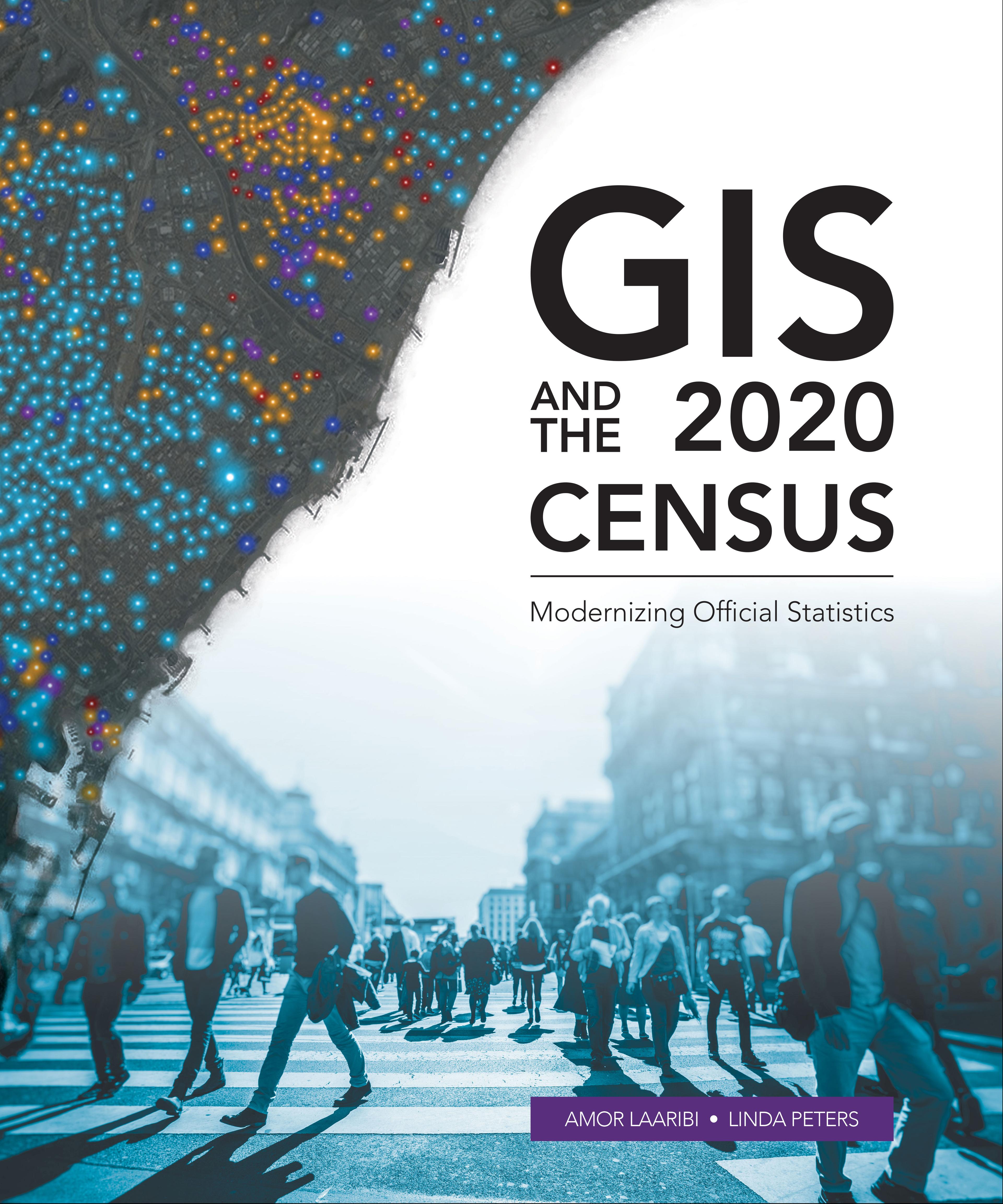
Census workers need to capture and analyze information at the finest geographic level with mobile and geospatial-based technology.
GIS and the 2020 Census: Modernizing Official Statistics guides statistical organizations with the most recent GIS methodologies and technological tools to support census workers’ needs at all the stages of a census. Learn how to plan and carry out census work with GIS using new technologies for field data collection and operations management. After planning and collecting data, apply innovative solutions for performing statistical analysis, data integration and dissemination. Additional topics cover cloud computing, big data, location as a Service (LaaS), and emerging data sources.
While GIS and the 2020 Census focuses on using GIS and other geospatial technology in support of census planning and operations, it also offers guidelines for building a statistical-geospatial information infrastructure in support of the 2020 Round of Censuses, evidence-based decision-making, and sustainable development. Case studies illustrate concepts in practice.
Betaal eenvoudig met kaart, Klarna, Apple Pay of Google Pay. Niet tevreden? Je hebt altijd 14 dagen bedenktijd. Lees meer in onze voorwaarden. Heb je vragen, mail ons dan via hello@memmo.org.
Memmo maakt studeren makkelijker – waar je ook bent ter wereld. Wij brengen je cursusboeken en slimme studietools samen op één plek: samenvattingen, quizzen, podcasts en flashcards. En Ted, je studievriend die antwoord geeft op alles wat je je afvraagt. Meer dan 50.000 studenten studeren hier al – gebouwd om je sneller te laten leren en minder stress te geven.