
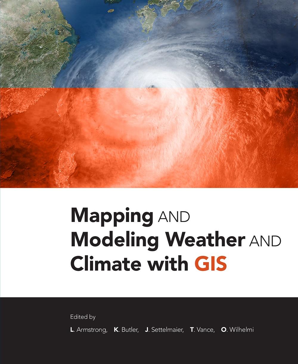
Mapping and Modeling Weather and Climate with GIS is a contributed volume of 23 chapters from leading climatologists, meteorologists, and other experts about how geospatial cartography and analysis helps to advance atmospheric science research. Coverage includes data and software resources, data representation, observations, modeling, data-model integration, web services, and the areas of current and potential cross-fertilization of atmospheric and geospatial sciences. Providing both the concepts and practices of mapping and modeling projects, the book is useful to novices using GIS on weather and climate projects. Practitioners and managers will gain a clear picture of the advances in GIS for atmospheric sciences and appreciate the helpful lists of available geospatial resources.
Categorie: Miljövetenskap & Klimat
e-ISBN: 9781589484054
Betaal eenvoudig met kaart, Klarna, Apple Pay of Google Pay. Niet tevreden? Je hebt altijd 14 dagen bedenktijd. Lees meer in onze voorwaarden. Heb je vragen, mail ons dan via hello@memmo.org.
Memmo maakt studeren makkelijker – waar je ook bent ter wereld. Wij brengen je cursusboeken en slimme studietools samen op één plek: samenvattingen, quizzen, podcasts en flashcards. En Ted, je studievriend die antwoord geeft op alles wat je je afvraagt. Meer dan 50.000 studenten studeren hier al – gebouwd om je sneller te laten leren en minder stress te geven.
Misschien vind je dit ook leuk
Koop het boek0