
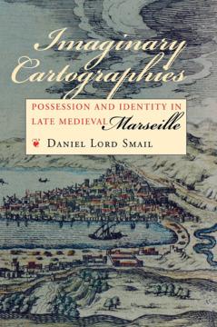
How, in the years before the advent of urban maps, did city residents conceptualize and navigate their communities? In his strikingly original book, Daniel Lord Smail develops a new method and a new vocabulary for understanding how urban men and women thought about their personal geography. His thorough research of property records of late medieval Marseille leads him to conclude that its inhabitants charted their city, its social structure, and their own identities within that structure through a set of cartographic grammars which powerfully shaped their lives.
Prior to the fourteenth century, different interest groups—notaries, royal officials, church officials, artisans—developed their own cartographies in accordance with their own social, political, or administrative agendas. These competing templates were created around units ranging from streets and islands to vicinities and landmarks. Smail shows how the notarial template, which privileged the street as the most basic marker of address, gradually emerged as the cartographic norm. This transformation, he argues, led to the rise of modern urban maps and helped to inaugurate the process whereby street addresses were attached to citizen identities, a crucial development in the larger enterprise of nation building.
Imaginary Cartographies opens up powerful new means for exploring late medieval and Renaissance urban society while advancing understanding of the role of social perceptions in history.
Betaal eenvoudig met kaart, Klarna, Apple Pay of Google Pay. Niet tevreden? Je hebt altijd 14 dagen bedenktijd. Lees meer in onze voorwaarden. Heb je vragen, mail ons dan via hello@memmo.org.
Memmo maakt studeren makkelijker – waar je ook bent ter wereld. Wij brengen je cursusboeken en slimme studietools samen op één plek: samenvattingen, quizzen, podcasts en flashcards. En Ted, je studievriend die antwoord geeft op alles wat je je afvraagt. Meer dan 50.000 studenten studeren hier al – gebouwd om je sneller te laten leren en minder stress te geven.