
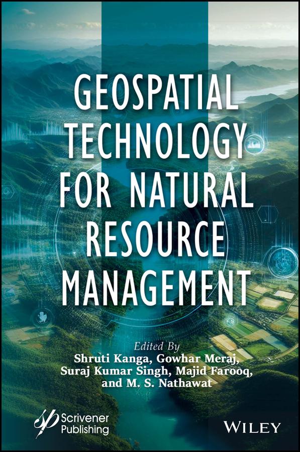
This book is essential for anyone interested in understanding and implementing sustainable resource development strategies, as it covers the crucial first stage of assessing resource availability and condition, along with the use of modern geospatial technologies such as remote sensing, GIS, and GPS for surveying, mapping, and monitoring various resources for global environmental protection and sustainable development.
The first step in developing a sustainable resource strategy is assessing the availability and condition of resources. This involves evaluating baseline levels, identifying trends, and understanding their consequences. Mitigation policies are then developed based on this assessment. Modern geospatial technologies like Remote Sensing (RS), Geographic Information Systems (GIS), and Global Positioning Systems (GPS) offer powerful tools for surveying, mapping, and monitoring both renewable and nonrenewable resources. These technologies support global environmental protection, disaster management, and sustainable development by providing repetitive and global data. GPS provides accurate geographic coordinates, while GIS allows visualization, analysis, and decision-making through spatial data, enabling the study of complex environmental and natural resource challenges at various scales.
Betaal eenvoudig met kaart, Klarna, Apple Pay of Google Pay. Niet tevreden? Je hebt altijd 14 dagen bedenktijd. Lees meer in onze voorwaarden. Heb je vragen, mail ons dan via hello@memmo.org.
Memmo maakt studeren makkelijker – waar je ook bent ter wereld. Wij brengen je cursusboeken en slimme studietools samen op één plek: samenvattingen, quizzen, podcasts en flashcards. En Ted, je studievriend die antwoord geeft op alles wat je je afvraagt. Meer dan 50.000 studenten studeren hier al – gebouwd om je sneller te laten leren en minder stress te geven.