
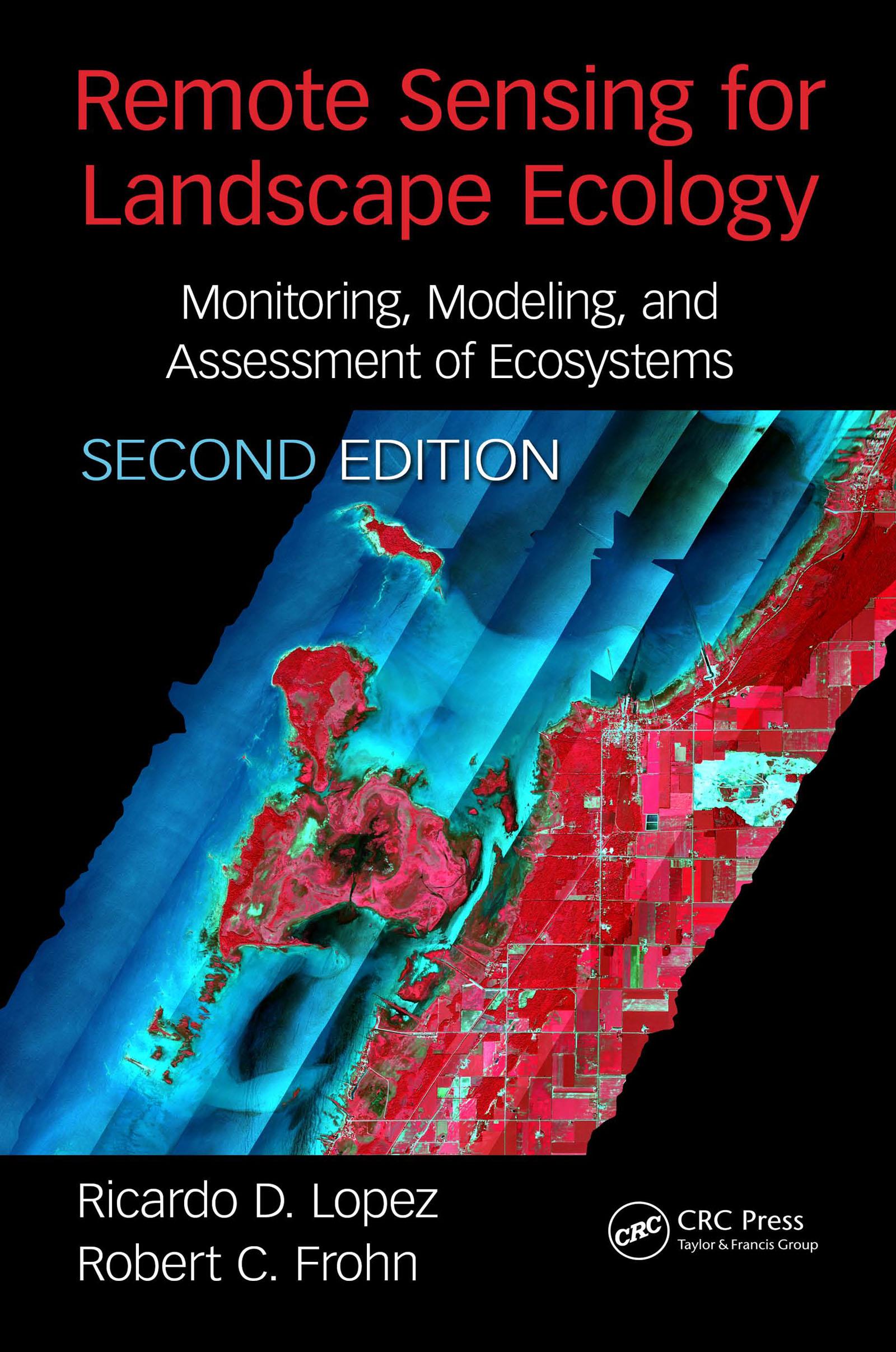
This book provides the practical basis for the use of remote sensing to accomplish landscape ecological projects, through the merging of theory and practice, with examples. This is a specialized application and both these topics have evolved rapidly in the past decade. This evolution is not in the previous edition, and indeed this update provides much new information and valuable ideas for the professional and assist in directing the training of new personnel. The new edition will feature a combination of landscape ecology metrics, quantitative field measurements, and geospatial analyses.
Betaal eenvoudig met kaart, Klarna, Apple Pay of Google Pay. Niet tevreden? Je hebt altijd 14 dagen bedenktijd. Lees meer in onze voorwaarden. Heb je vragen, mail ons dan via hello@memmo.org.
Memmo maakt studeren makkelijker – waar je ook bent ter wereld. Wij brengen je cursusboeken en slimme studietools samen op één plek: samenvattingen, quizzen, podcasts en flashcards. En Ted, je studievriend die antwoord geeft op alles wat je je afvraagt. Meer dan 50.000 studenten studeren hier al – gebouwd om je sneller te laten leren en minder stress te geven.