
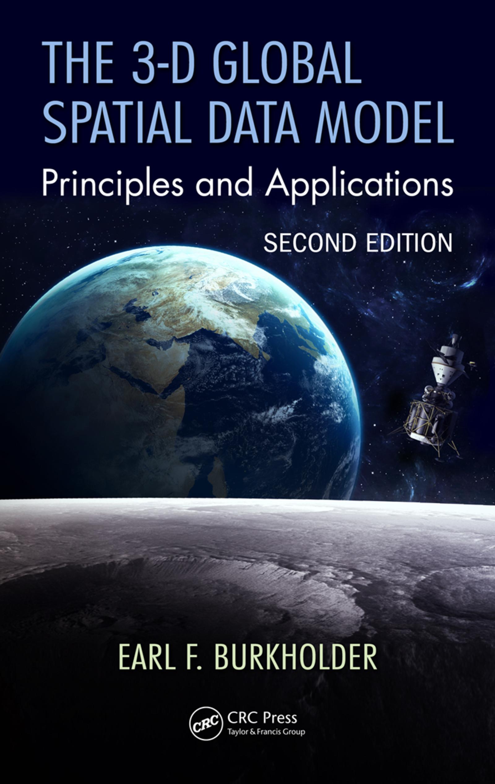
Traditional methods for handling spatial data are encumbered by the assumption of separate origins for horizontal and vertical measurements, but modern measurement systems operate in a 3-D spatial environment. The 3-D Global Spatial Data Model: Principles and Applications, Second Edition maintains a new model for handling digital spatial data, the global spatial data model or GSDM. The GSDM preserves the integrity of three-dimensional spatial data while also providing additional benefits such as simpler equations, worldwide standardization, and the ability to track spatial data accuracy with greater specificity and convenience. This second edition expands to new topics that satisfy a growing need in the GIS, professional surveyor, machine control, and Big Data communities while continuing to embrace the earth center fixed coordinate system as the fundamental point of origin of one, two, and three-dimensional data sets. Ideal for both beginner and advanced levels, this book also provides guidance and insight on how to link to the data collected and stored in legacy systems.
Betaal eenvoudig met kaart, Klarna, Apple Pay of Google Pay. Niet tevreden? Je hebt altijd 14 dagen bedenktijd. Lees meer in onze voorwaarden. Heb je vragen, mail ons dan via hello@memmo.org.
Memmo maakt studeren makkelijker – waar je ook bent ter wereld. Wij brengen je cursusboeken en slimme studietools samen op één plek: samenvattingen, quizzen, podcasts en flashcards. En Ted, je studievriend die antwoord geeft op alles wat je je afvraagt. Meer dan 50.000 studenten studeren hier al – gebouwd om je sneller te laten leren en minder stress te geven.