
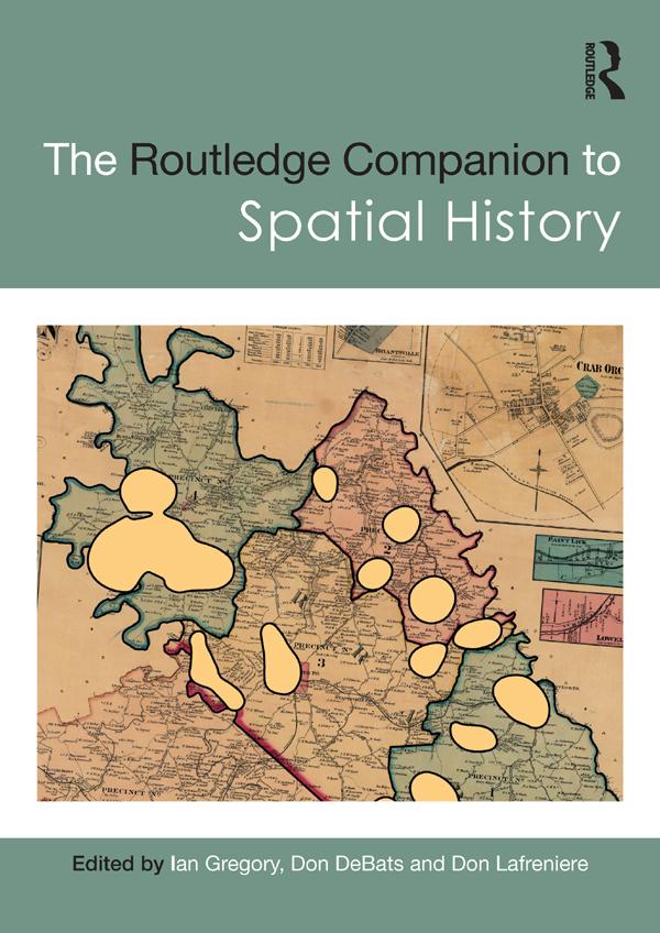
The Routledge Companion to Spatial History explores the full range of ways in which GIS can be used to study the past, considering key questions such as what types of new knowledge can be developed solely as a consequence of using GIS and how effective GIS can be for different types of research.
Global in scope and covering a broad range of subjects, the chapters in this volume discuss ways of turning sources into a GIS database, methods of analysing these databases, methods of visualising the results of the analyses, and approaches to interpreting analyses and visualisations. Chapter authors draw from a diverse collection of case studies from around the world, covering topics from state power in imperial China to the urban property market in nineteenth-century Rio de Janeiro, health and society in twentieth-century Britain and the demographic impact of the Second Battle of Ypres in 1915.
Critically evaluating both the strengths and limitations of GIS and illustrated with over two hundred maps and figures, this volume is an essential resource for all students and scholars interested in the use of GIS and spatial analysis as a method of historical research.
Betaal eenvoudig met kaart, Klarna, Apple Pay of Google Pay. Niet tevreden? Je hebt altijd 14 dagen bedenktijd. Lees meer in onze voorwaarden. Heb je vragen, mail ons dan via hello@memmo.org.
Memmo maakt studeren makkelijker – waar je ook bent ter wereld. Wij brengen je cursusboeken en slimme studietools samen op één plek: samenvattingen, quizzen, podcasts en flashcards. En Ted, je studievriend die antwoord geeft op alles wat je je afvraagt. Meer dan 50.000 studenten studeren hier al – gebouwd om je sneller te laten leren en minder stress te geven.