
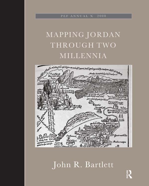
This book shows how travellers and scholars since Roman times have put together their maps of the land east of the River Jordan. It traces the contribution of Roman armies and early Christian pilgrims and medieval European travellers, Crusading armies, learned scholars like Jacob Ziegler, sixteenth-century mapmakers like Mercator and Ortelius, eighteenth-century travellers and savants, and nineteenth-century biblical scholars and explorers like Robinson and Smith, culminating in the late-nineteenth century surveyors working for the Palestine Exploration Fund. This original and valuable book shows, with full illustrations, how maps of the Transjordan region developed through the centuries, and with its detailed tables and bibliography will aid future scholars in further research.The author took part in archaeological excavations and surveys in Jordan, was Associate Professor of Biblical Studies and Fellow at Trinity College Dublin, has published research papers and books on ancient Jordan. John Bartlett was the editor of the Palestine Exploration Quarterly, and until recently was the Chairman of the Palestine Exploration Fund.
Pagina's: 175
Categorie: Arkeologi & Antikvetenskap
e-ISBN: 9781351559263
Verzendgewicht: 1.2 kg
Verzending binnen: 1-2 dagen
Betaal eenvoudig met kaart, Klarna, Apple Pay of Google Pay. Niet tevreden? Je hebt altijd 14 dagen bedenktijd. Lees meer in onze voorwaarden. Heb je vragen, mail ons dan via hello@memmo.org.
Memmo maakt studeren makkelijker – waar je ook bent ter wereld. Wij brengen je cursusboeken en slimme studietools samen op één plek: samenvattingen, quizzen, podcasts en flashcards. En Ted, je studievriend die antwoord geeft op alles wat je je afvraagt. Meer dan 50.000 studenten studeren hier al – gebouwd om je sneller te laten leren en minder stress te geven.
Misschien vind je dit ook leuk
Koop het boek0