
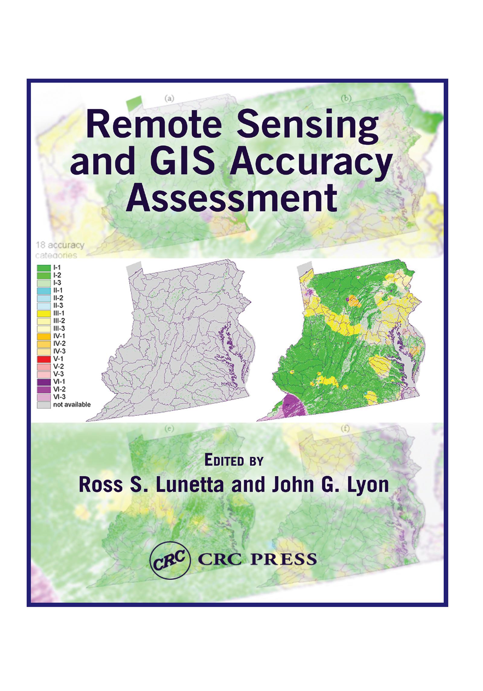
Based upon a special symposium sponsored by the U.S. Environmental Protection Agency (EPA), Remote Sensing and GIS Accuracy Assessment evaluates the important scientific elements related to the performance of accuracy assessments for remotely sensed data, GIS data analysis, and integration products. Scientists from federal, state, and local governments, academia, and nongovernmental organizations present technical papers which examine sampling issues, reference data collection, edge and boundary effects, error matrix and fuzzy assessments, error budget analysis, and change detection accuracy assessment. This compilation contains 20 chapters that represent important symposium outcomes.
Betaal eenvoudig met kaart, Klarna, Apple Pay of Google Pay. Niet tevreden? Je hebt altijd 14 dagen bedenktijd. Lees meer in onze voorwaarden. Heb je vragen, mail ons dan via hello@memmo.org.
Memmo maakt studeren makkelijker – waar je ook bent ter wereld. Wij brengen je cursusboeken en slimme studietools samen op één plek: samenvattingen, quizzen, podcasts en flashcards. En Ted, je studievriend die antwoord geeft op alles wat je je afvraagt. Meer dan 50.000 studenten studeren hier al – gebouwd om je sneller te laten leren en minder stress te geven.
Misschien vind je dit ook leuk
Koop het boek0