
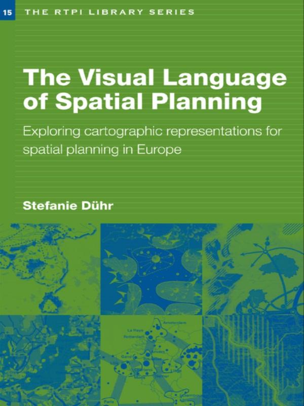
At a time when strategic spatial planning is undergoing a renaissance in Europe, The Visual Language of Spatial Planning makes a unique contribution to this rapidly growing area of teaching and research. Discussing the relevant theoretical perspectives on policy-making and planning, combined with cartographic communication and the use of cartographic representations in the planning process, Stephanie Duhr provides conceptual and practical tools to help students and practitioners better understand maps and visualizations in strategic spatial planning.
The book is the first to review the form, style and use of cartographic representations in strategic spacial plans in the Netherlands, Germany and England as well as at European level. Significant differences between planning traditions and the impact of these on transnational planning processes are highlighted. It concludes by discussing the practical implications for future strategic spacial planning processes in Europe and the best use of cartographic representations to reach agreement and to focus dialogue.
Betaal eenvoudig met kaart, Klarna, Apple Pay of Google Pay. Niet tevreden? Je hebt altijd 14 dagen bedenktijd. Lees meer in onze voorwaarden. Heb je vragen, mail ons dan via hello@memmo.org.
Memmo maakt studeren makkelijker – waar je ook bent ter wereld. Wij brengen je cursusboeken en slimme studietools samen op één plek: samenvattingen, quizzen, podcasts en flashcards. En Ted, je studievriend die antwoord geeft op alles wat je je afvraagt. Meer dan 50.000 studenten studeren hier al – gebouwd om je sneller te laten leren en minder stress te geven.