
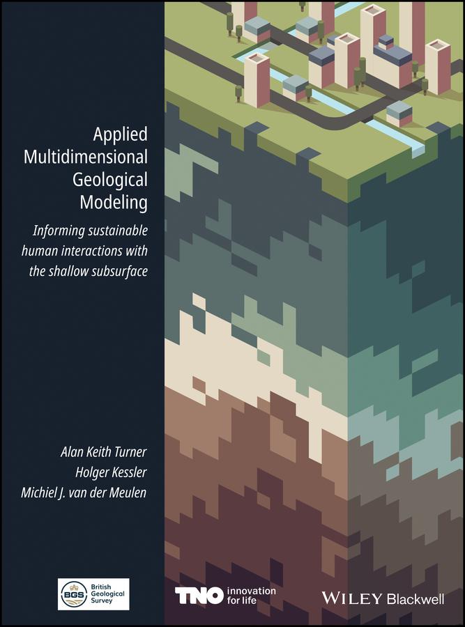
Over the past decades, geological survey organizations have digitized their data handling and holdings, unlocking vast amounts of data and information for computer processing. They have undertaken 3-D modeling alongside, and in some cases instead of, conventional geological mapping and begun delivering both data and interpretations to increasingly diverse stakeholder communities. Applied Multidimensional Geological Modeling provides a citable central source that documents the current capabilities and contributions of leading geological survey organization and other practitioners in industry and academia that are producing multidimensional geological models.
This book focuses on applications related to human interactions with conditions in the shallow subsurface, within 100-200 m of the surface. The 26 chapters, developed by 100 contributors associated with 37 organizations, discuss topics relevant to any geologist, scientist, engineer, urban planner, or decision maker whose practice includes assessment or planning of underground space.
Betaal eenvoudig met kaart, Klarna, Apple Pay of Google Pay. Niet tevreden? Je hebt altijd 14 dagen bedenktijd. Lees meer in onze voorwaarden. Heb je vragen, mail ons dan via hello@memmo.org.
Memmo maakt studeren makkelijker – waar je ook bent ter wereld. Wij brengen je cursusboeken en slimme studietools samen op één plek: samenvattingen, quizzen, podcasts en flashcards. En Ted, je studievriend die antwoord geeft op alles wat je je afvraagt. Meer dan 50.000 studenten studeren hier al – gebouwd om je sneller te laten leren en minder stress te geven.