
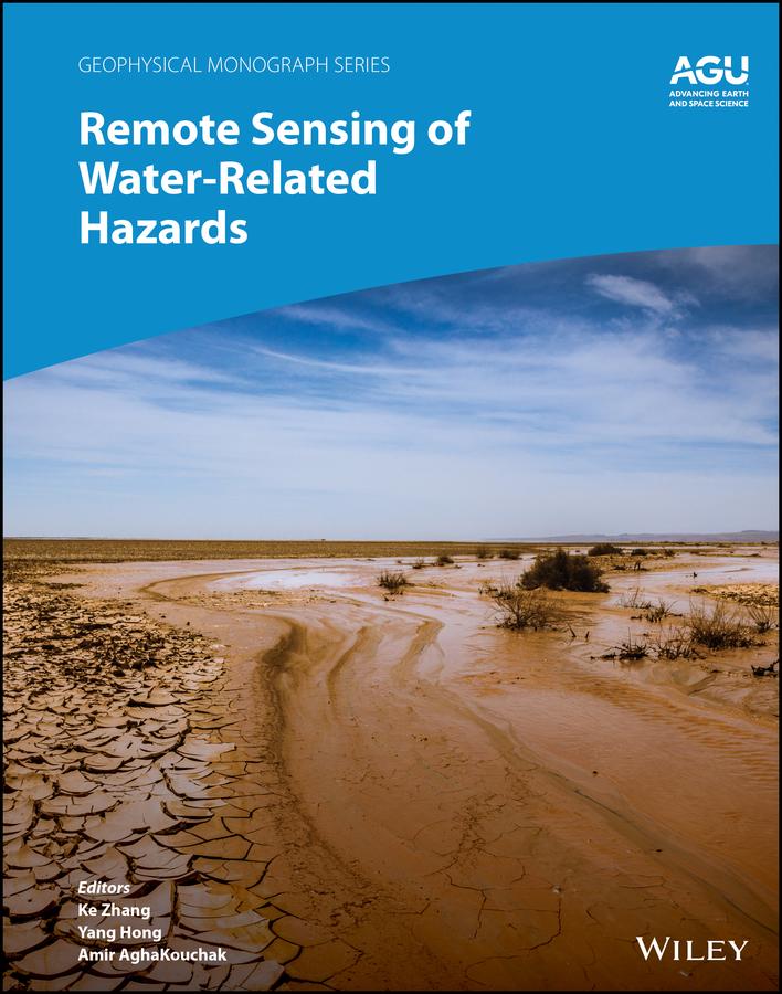
Applications of remote sensing technology for monitoring and predicting water-related hazards
Water-related hazards such as floods and droughts have serious impacts on society. Their incidence has increased in recent decades, a trend set to continue with ongoing climate change. Adaptation and mitigation measures require accurate detection, monitoring, and forecasting, much of which comes from remote sensing technologies.
Remote Sensing of Water-Related Hazards takes an interdisciplinary approach, presenting recent advances in the available data, sensors, models, and indicators developed for monitoring and prediction.
Volume highlights include:
- Progress in remote sensing of precipitation, storms, and tornados
- Different techniques for flood mapping, forecasting, and early warning
- Integrated approach for predicting flood and landslide cascading hazards
- Satellite monitoring of water cycle variation, water scarcity, and drought conditions
- Multi-indicator and multi-sensor approaches for quantifying drought impacts
The American Geophysical Union promotes discovery in Earth and space science for the benefit of humanity. Its publications disseminate scientific knowledge and provide resources for researchers, students, and professionals.
Betaal eenvoudig met kaart, Klarna, Apple Pay of Google Pay. Niet tevreden? Je hebt altijd 14 dagen bedenktijd. Lees meer in onze voorwaarden. Heb je vragen, mail ons dan via hello@memmo.org.
Memmo maakt studeren makkelijker – waar je ook bent ter wereld. Wij brengen je cursusboeken en slimme studietools samen op één plek: samenvattingen, quizzen, podcasts en flashcards. En Ted, je studievriend die antwoord geeft op alles wat je je afvraagt. Meer dan 50.000 studenten studeren hier al – gebouwd om je sneller te laten leren en minder stress te geven.