
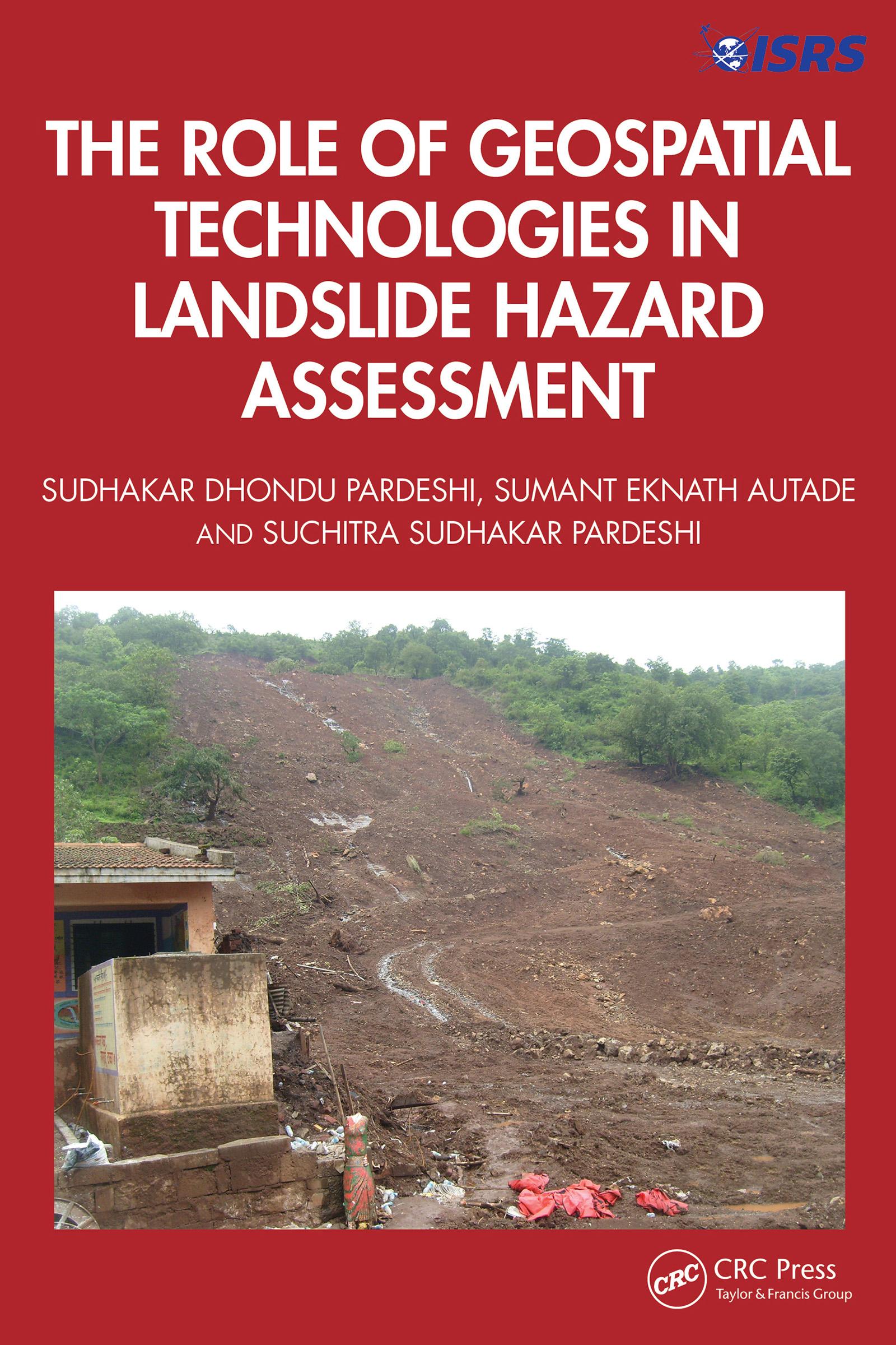
This book is designed to provide a detailed, methodological framework for landslide hazard assessment. The focus is on various dimensions of landslide hazard assessment, including the terminologies used in landslide hazard analysis and landslide inventory systems used globally and their relevance in generating a complete and reliable landslide database for further analysis, supported by global case studies. It includes an overview of the methodological developments in landslide hazard assessment and role of geospatial technologies in landslide studies.
Features:
- Helps readers to understand the technical details of geospatial techniques applied in hazard management.
- Deals with the practicalities of how to recognise and classify unstable terrain.
- Covers recent advances in landslide estimation, particularly the automated means of landslide susceptibility estimation.
- Explores methodological frameworks of landslide hazard assessment.
- Illustrates case studies from the United States, Europe, and Asia, including demonstrations of different methodologies of landslide susceptibility zonation.
This book is aimed at researchers, graduate students, and libraries in geotechnical and environmental engineering.
Betaal eenvoudig met kaart, Klarna, Apple Pay of Google Pay. Niet tevreden? Je hebt altijd 14 dagen bedenktijd. Lees meer in onze voorwaarden. Heb je vragen, mail ons dan via hello@memmo.org.
Memmo maakt studeren makkelijker – waar je ook bent ter wereld. Wij brengen je cursusboeken en slimme studietools samen op één plek: samenvattingen, quizzen, podcasts en flashcards. En Ted, je studievriend die antwoord geeft op alles wat je je afvraagt. Meer dan 50.000 studenten studeren hier al – gebouwd om je sneller te laten leren en minder stress te geven.