
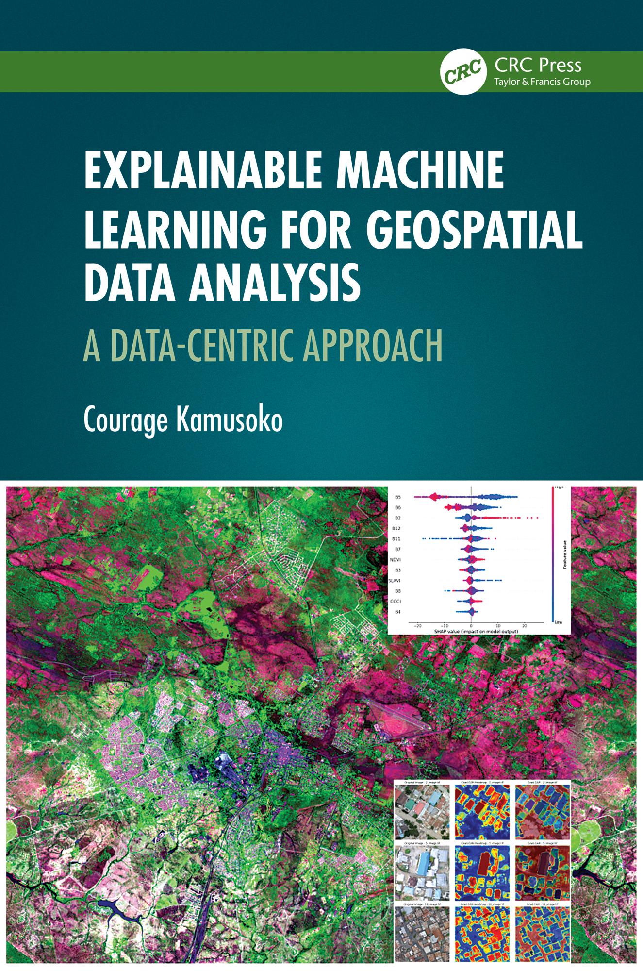
Explainable machine learning (XML), a subfield of AI, is focused on making complex AI models understandable to humans. This book highlights and explains the details of machine learning models used in geospatial data analysis. It demonstrates the need for a data-centric, explainable machine learning approach to obtain new insights from geospatial data. It presents the opportunities, challenges, and gaps in the machine and deep learning approaches for geospatial data analysis and how they are applied to solve various environmental problems in land cover changes and in modeling forest canopy height and aboveground biomass density. The author also includes guidelines and code scripts (R, Python) valuable for practical readers.
Features
- Data-centric explainable machine learning (ML) approaches for geospatial data analysis.
- The foundations and approaches to explainable ML and deep learning.
- Several case studies from urban land cover and forestry where existing explainable machine learning methods are applied.
- Descriptions of the opportunities, challenges, and gaps in data-centric explainable ML approaches for geospatial data analysis.
- Scripts in R and python to perform geospatial data analysis, available upon request.
This book is an essential resource for graduate students, researchers, and academics working in and studying data science and machine learning, as well as geospatial data science professionals using GIS and remote sensing in environmental fields.
Betaal eenvoudig met kaart, Klarna, Apple Pay of Google Pay. Niet tevreden? Je hebt altijd 14 dagen bedenktijd. Lees meer in onze voorwaarden. Heb je vragen, mail ons dan via hello@memmo.org.
Memmo maakt studeren makkelijker – waar je ook bent ter wereld. Wij brengen je cursusboeken en slimme studietools samen op één plek: samenvattingen, quizzen, podcasts en flashcards. En Ted, je studievriend die antwoord geeft op alles wat je je afvraagt. Meer dan 50.000 studenten studeren hier al – gebouwd om je sneller te laten leren en minder stress te geven.