
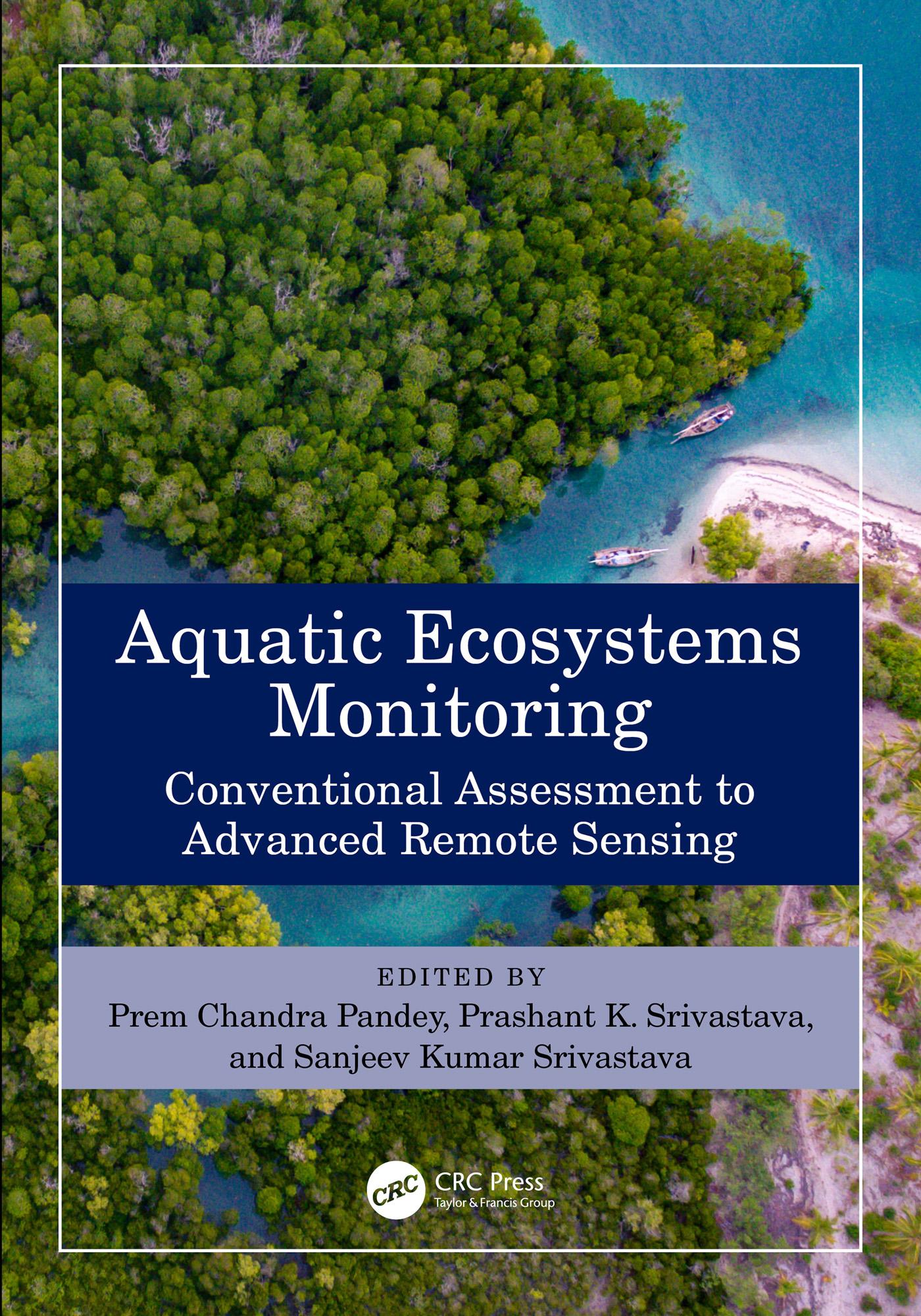
This book collates traditional and modern applications of remote sensing in aquatic ecosystem monitoring. It covers conventional assessment methods like sampling, surveying, macroinvertebrates, and chlorophyll estimation for aquatic ecosystem health assessment. Advanced remote sensing technology provides timely spectral information for quantitative and qualitative assessment of water quality, shoreline changes, coral bleaching, and vegetation monitoring. The book covers different types of aquatic ecosystems like wetlands, rivers, lakes, saline, and the brackish lake. It also:
- Reviews the latest applications of remote sensing in the monitoring and assessment of aquatic ecosystems
- Includes traditional methods like cartography, sampling, surveying, phytoplankton assessment, river interlinking, and chlorophyll estimation
- Discusses the application of multi-source data and machine learning in monitoring aquatic ecosystems
- Discusses aquatic ecosystem management, services, threats, and sustainability
- Explores challenges, opportunities, and prospects of future Earth observation applications for aquatic ecosystem monitoring
The book discusses space-borne, airborne, and drone geospatial data. The parts broadly cover aquatic ecosystem monitoring, vegetation management, advanced modeling practices, and challenges. It is meant for scientists, professionals, and policymakers working in environmental sciences, remote sensing, and geology.
Betaal eenvoudig met kaart, Klarna, Apple Pay of Google Pay. Niet tevreden? Je hebt altijd 14 dagen bedenktijd. Lees meer in onze voorwaarden. Heb je vragen, mail ons dan via hello@memmo.org.
Memmo maakt studeren makkelijker – waar je ook bent ter wereld. Wij brengen je cursusboeken en slimme studietools samen op één plek: samenvattingen, quizzen, podcasts en flashcards. En Ted, je studievriend die antwoord geeft op alles wat je je afvraagt. Meer dan 50.000 studenten studeren hier al – gebouwd om je sneller te laten leren en minder stress te geven.