
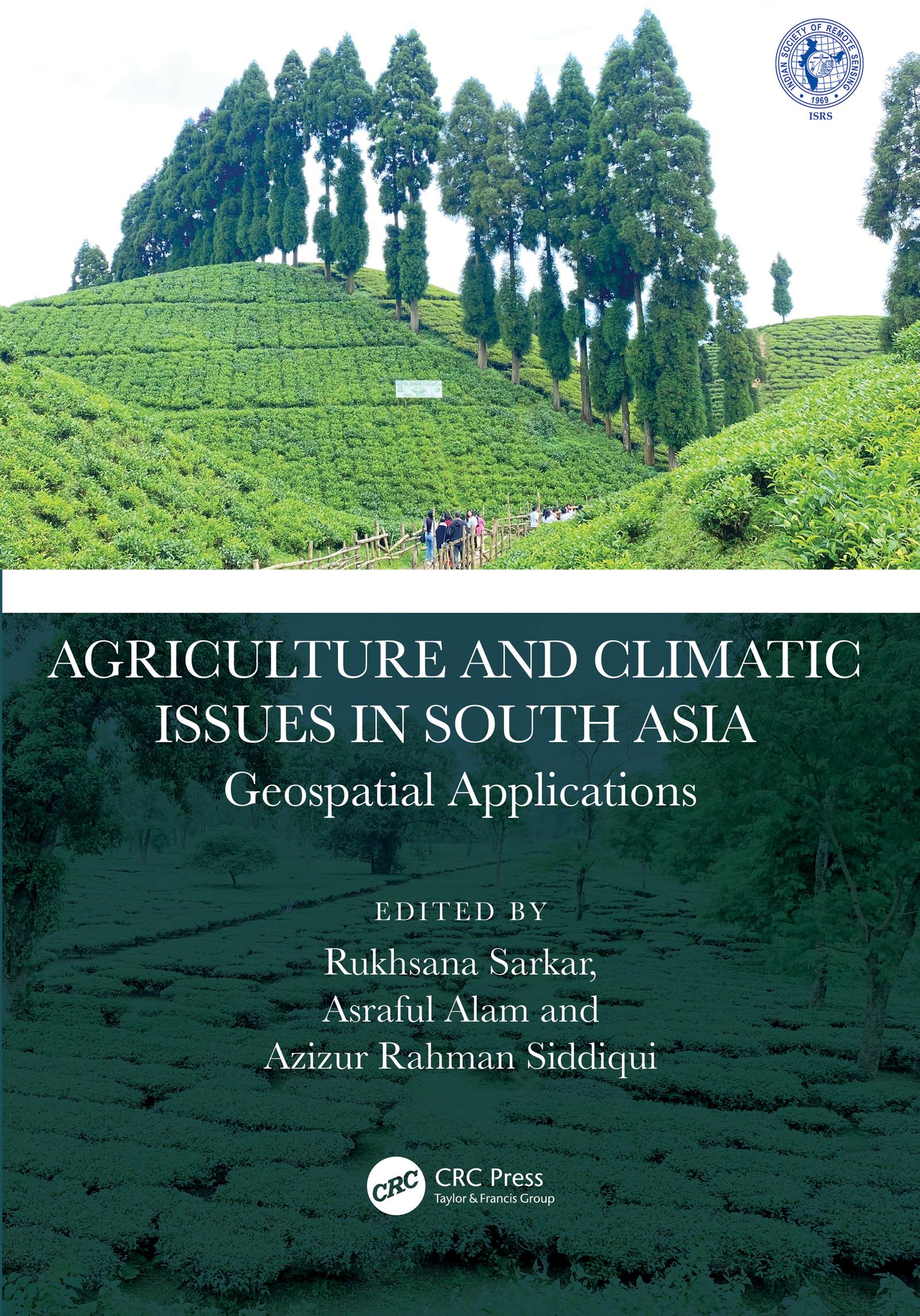
This book presents focussed information related to dynamic cropland transformation, agriculture development, climate change, and environment with the application of advance geospatial technology. It describes research using geospatial tools and techniques to develop the models, design, and planning for agricultural land use optimization especially in south Asian countries. It covers agriculture production, water scarcity, industrial development, natural resources, environmental degradation, and sustainable development.
Features:
- Provides the adaptation strategy from a multidisciplinary resilience perspective
- Addresses contemporary agricultural resilience to various climate change issues
- Develops novel approaches for sustainability with environmentally sound practices
- Discusses methodological and innovative approaches at local to global perspective
- Reports research using geospatial tools and techniques to develop the models, design, and planning for agricultural land use optimization
The book is aimed at researchers, professionals, and graduate students in GIS, environmental engineering, geography, agriculture, and climate studies.
Betaal eenvoudig met kaart, Klarna, Apple Pay of Google Pay. Niet tevreden? Je hebt altijd 14 dagen bedenktijd. Lees meer in onze voorwaarden. Heb je vragen, mail ons dan via hello@memmo.org.
Memmo maakt studeren makkelijker – waar je ook bent ter wereld. Wij brengen je cursusboeken en slimme studietools samen op één plek: samenvattingen, quizzen, podcasts en flashcards. En Ted, je studievriend die antwoord geeft op alles wat je je afvraagt. Meer dan 50.000 studenten studeren hier al – gebouwd om je sneller te laten leren en minder stress te geven.