
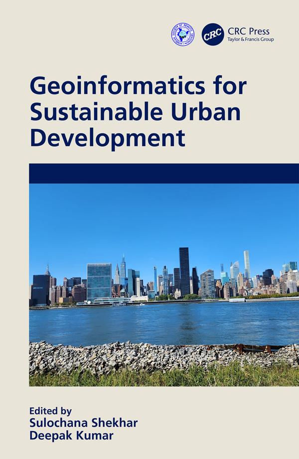
This book provides compelling new insights into how cities are attempting to address sustainability challenges via major applications of geospatial technology in an urban area. It elucidates the role of geospatial techniques such as GIS and GNSS, including remote sensing in urban management, and covers the theory and practice of urban sustainability transitions. It provides case studies and contextualised tools for the governance of urban transitions to present various applications of geospatial techniques in an urban environment.
Features:
- Covers hands-on approaches on quantitative measures of urban analytics
- Focuses on sustainability issues in urban planning and development
- Includes pertinent global case studies for implementation of urban planning practices
- Reviews the inter-relationship between smart cities and sustainable development
This book is aimed at graduate students, researchers, and professionals in GIS, urban sciences, and geography.
Betaal eenvoudig met kaart, Klarna, Apple Pay of Google Pay. Niet tevreden? Je hebt altijd 14 dagen bedenktijd. Lees meer in onze voorwaarden. Heb je vragen, mail ons dan via hello@memmo.org.
Memmo maakt studeren makkelijker – waar je ook bent ter wereld. Wij brengen je cursusboeken en slimme studietools samen op één plek: samenvattingen, quizzen, podcasts en flashcards. En Ted, je studievriend die antwoord geeft op alles wat je je afvraagt. Meer dan 50.000 studenten studeren hier al – gebouwd om je sneller te laten leren en minder stress te geven.