
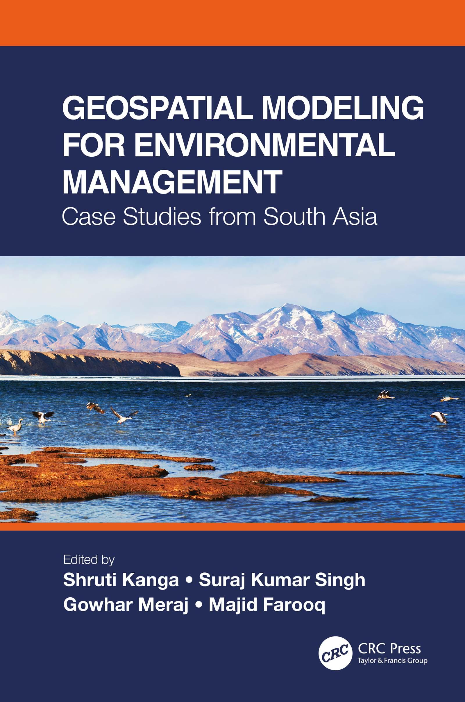
This is a comprehensive resource that integrates the application of innovative remote sensing techniques and geospatial tools in modeling Earth systems for environmental management beyond customary digitization and mapping practices. It identifies the most suitable approaches for a specific environmental problem, emphasizes the importance of physically based modeling, their uncertainty analysis, advantages, and disadvantages. The case studies on the Himalayas with a complex topography call for innovation in geospatial techniques to find solutions for various environmental problems.
Features:
- Presents innovative geospatial methods in environmental modeling of Earth systems.
- Includes case studies from South Asia and discusses different processes and outcomes using spatially explicit models.
- Explains contemporary environmental problems through the analysis of various information layers.
- Provides good practices for developing countries to help manage environmental issues using low-cost geospatial approaches.
- Integrates geospatial modeling with policy and analysis its direct implication in decision making.
Using a systems’ approach analysis, Geospatial Modeling for Environmental Management: Case Studies from South Asia shall serve environmental managers, students, researchers, and policymakers.
Betaal eenvoudig met kaart, Klarna, Apple Pay of Google Pay. Niet tevreden? Je hebt altijd 14 dagen bedenktijd. Lees meer in onze voorwaarden. Heb je vragen, mail ons dan via hello@memmo.org.
Memmo maakt studeren makkelijker – waar je ook bent ter wereld. Wij brengen je cursusboeken en slimme studietools samen op één plek: samenvattingen, quizzen, podcasts en flashcards. En Ted, je studievriend die antwoord geeft op alles wat je je afvraagt. Meer dan 50.000 studenten studeren hier al – gebouwd om je sneller te laten leren en minder stress te geven.