
"The Open Access version of this book, available at https://www.taylorfrancis.com/books/oa-edit/10.1201/9781003181590, has been made available under a Creative Commons Attribution-Non Commercial-No Derivatives 4.0 license."
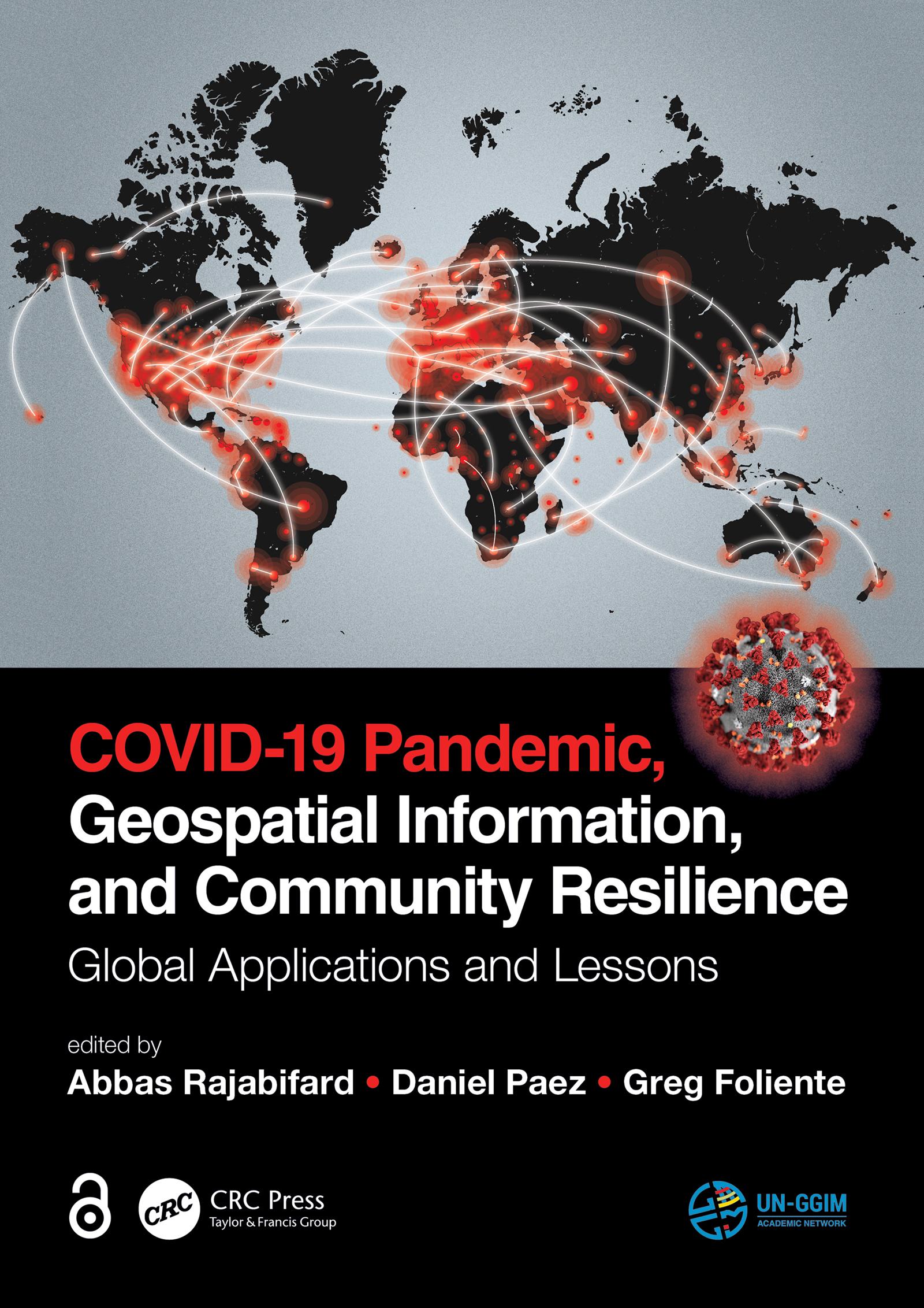
Geospatial information plays an important role in managing location dependent pandemic situations across different communities and domains. Geospatial information and technologies are particularly critical to strengthening urban and rural resilience, where economic, agricultural, and various social sectors all intersect. Examining the United Nations' SDGs from a geospatial lens will ensure that the challenges are addressed for all populations in different locations. This book, with worldwide contributions focused on COVID-19 pandemic, provides interdisciplinary analysis and multi-sectoral expertise on the use of geospatial information and location intelligence to support community resilience and authorities to manage pandemics.
Betaal eenvoudig met kaart, Klarna, Apple Pay of Google Pay. Niet tevreden? Je hebt altijd 14 dagen bedenktijd. Lees meer in onze voorwaarden. Heb je vragen, mail ons dan via hello@memmo.org.
Memmo maakt studeren makkelijker – waar je ook bent ter wereld. Wij brengen je cursusboeken en slimme studietools samen op één plek: samenvattingen, quizzen, podcasts en flashcards. En Ted, je studievriend die antwoord geeft op alles wat je je afvraagt. Meer dan 50.000 studenten studeren hier al – gebouwd om je sneller te laten leren en minder stress te geven.