
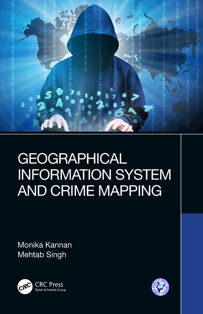
Geographical Information System and Crime Mapping features a diverse array of Geographic Information System (GIS) applications in crime analysis, from general issues such as GIS as a communication process, interjurisdictional mapping and data sharing to specific applications in tracking serial killers and predicting violence-prone zones. It supports readers in developing and implementing crime mapping techniques. The distribution of crime is explained with reference to theories of human ecology, transport network, built environment, housing markets, and forms of urban management, including policing. Concepts are supported with relevant case studies and real-time crime data to illustrate concepts and applications of crime mapping. Aimed at senior undergraduate, graduate students, professionals in GIS, Crime Analysis, Spatial Analysis, Ergonomics and human factors, this book:
- Provides an update of GIS applications for crime mapping studies
- Highlights growing potential of GIS for crime mapping, monitoring, and reduction through developing and implementing crime mapping techniques
- Covers Operational Research, Spatial Regression model, Point Analysis and so forth
- Builds models helpful in police patrolling, surveillance and crime mapping from a technology perspective
- Includes a dedicated section on case studies including exercises and data samples
Betaal eenvoudig met kaart, Klarna, Apple Pay of Google Pay. Niet tevreden? Je hebt altijd 14 dagen bedenktijd. Lees meer in onze voorwaarden. Heb je vragen, mail ons dan via hello@memmo.org.
Memmo maakt studeren makkelijker – waar je ook bent ter wereld. Wij brengen je cursusboeken en slimme studietools samen op één plek: samenvattingen, quizzen, podcasts en flashcards. En Ted, je studievriend die antwoord geeft op alles wat je je afvraagt. Meer dan 50.000 studenten studeren hier al – gebouwd om je sneller te laten leren en minder stress te geven.