
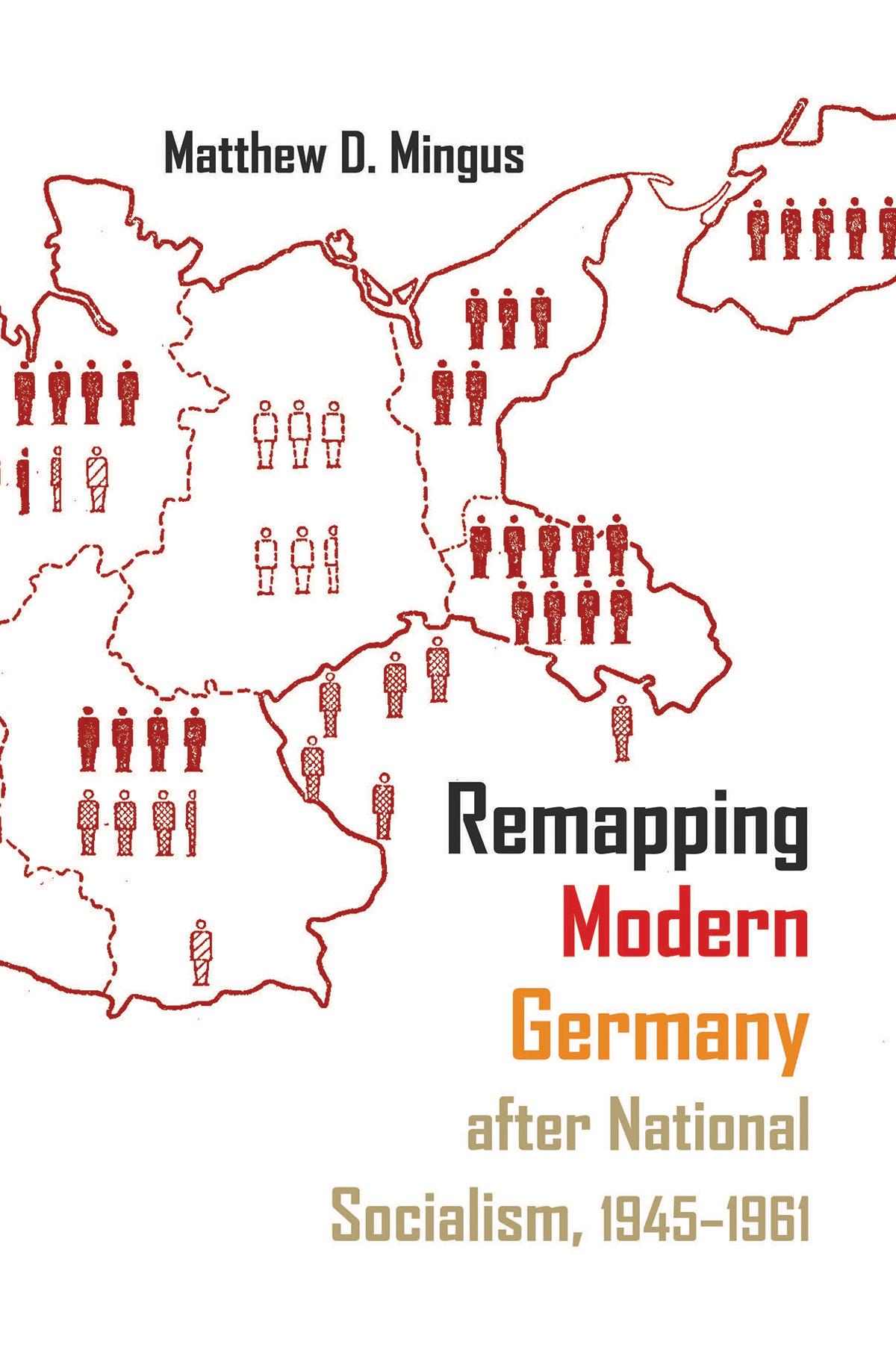
Located in the often-contentious center of the European continent, German territory has regularly served as a primary tool through which to understand and study Germany’s economic, cultural, and political development. Many German geographers throughout the nineteenth and early twentieth centuries became deeply invested in geopolitical determinism—the idea that a nation’s territorial holdings (or losses) dictate every other aspect of its existence. Taking this as his premise, Mingus focuses on the use of maps as mediums through which the United States, Great Britain, and the Soviet Union sought to reshape German national identity after the Second World War. As important as maps and the study of geography have been to the field of European history, few scholars have looked at the postwar development of occupied Germany through the lens of the map—the most effective means to orient German citizens ontologically within a clearly and purposefully delineated spatial framework. Mingus traces the institutions and individuals involved in the massive cartographic overhaul of postwar Germany. In doing so, he explores not only the causes and methods behind the production and reproduction of Germany’s mapped space but also the very real consequences of this practice.
Categorie: Geografi
e-ISBN: 9780815654162
Betaal eenvoudig met kaart, Klarna, Apple Pay of Google Pay. Niet tevreden? Je hebt altijd 14 dagen bedenktijd. Lees meer in onze voorwaarden. Heb je vragen, mail ons dan via hello@memmo.org.
Memmo maakt studeren makkelijker – waar je ook bent ter wereld. Wij brengen je cursusboeken en slimme studietools samen op één plek: samenvattingen, quizzen, podcasts en flashcards. En Ted, je studievriend die antwoord geeft op alles wat je je afvraagt. Meer dan 50.000 studenten studeren hier al – gebouwd om je sneller te laten leren en minder stress te geven.
Misschien vind je dit ook leuk
Koop het boek0