
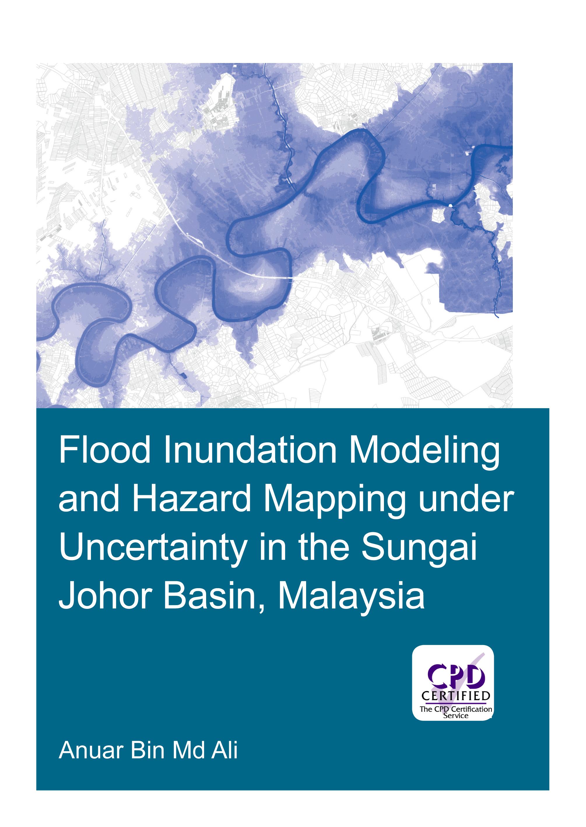
Flooding can have devastating impacts on people’s livelihood, economy and the environment. An important instrument in flood management is floodplain maps, which assist land planners and local authorities in identifying flood-prone areas, and provide useful information for rescue and relief agencies for their operations. Developing floodplain maps often involves flood inundation modeling. This typically requires precipitation and stream flow data, topographic information, building a hydraulic model and calibration of its parameters. Often however, floodplain maps are built on a single model outcome without an explicit consideration of all the sources of uncertainty in the modeling process.
The research presented in this thesis addresses the uncertainty in flood inundation modeling, which may arise from input data and hydraulic modeling approach. The study area is the Sungai Johor basin in Johor, Malaysia, an agriculture-dominated area. The present study analyses the modelling uncertainties arising from estimations of design flow, terrain data sets, geometric description in hydraulic models and different modeling approaches, and develops recommendations for practitioners. Explicit account for uncertainties and studying their impact in flood inundation mapping allow for more informed and effective decision making.
Betaal eenvoudig met kaart, Klarna, Apple Pay of Google Pay. Niet tevreden? Je hebt altijd 14 dagen bedenktijd. Lees meer in onze voorwaarden. Heb je vragen, mail ons dan via hello@memmo.org.
Memmo maakt studeren makkelijker – waar je ook bent ter wereld. Wij brengen je cursusboeken en slimme studietools samen op één plek: samenvattingen, quizzen, podcasts en flashcards. En Ted, je studievriend die antwoord geeft op alles wat je je afvraagt. Meer dan 50.000 studenten studeren hier al – gebouwd om je sneller te laten leren en minder stress te geven.