
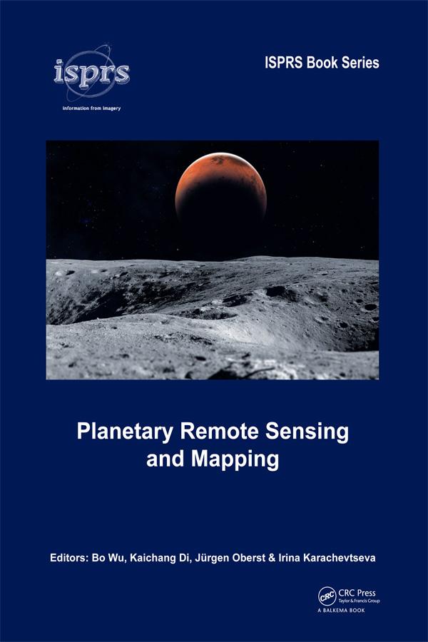
The early 21st century marks a new era in space exploration. The National Aeronautics and Space Administration (NASA) of the United States, The European Space Agency (ESA), as well as space agencies of Japan, China, India, and other countries have sent their probes to the Moon, Mars, and other planets in the solar system. Planetary Remote Sensing and Mapping introduces original research and new developments in the areas of planetary remote sensing, photogrammetry, mapping, GIS, and planetary science resulting from the recent space exploration missions.
Topics covered include:
- Reference systems of planetary bodies
- Planetary exploration missions and sensors
- Geometric information extraction from planetary remote sensing data
- Feature information extraction from planetary remote sensing data
- Planetary remote sensing data fusion
- Planetary data management and presentation
Planetary Remote Sensing and Mapping will serve scientists and professionals working in the planetary remote sensing and mapping areas, as well as planetary probe designers, engineers, and planetary geologists and geophysicists. It also provides useful reading material for university teachers and students in the broader areas of remote sensing, photogrammetry, cartography, GIS, and geodesy.
Betaal eenvoudig met kaart, Klarna, Apple Pay of Google Pay. Niet tevreden? Je hebt altijd 14 dagen bedenktijd. Lees meer in onze voorwaarden. Heb je vragen, mail ons dan via hello@memmo.org.
Memmo maakt studeren makkelijker – waar je ook bent ter wereld. Wij brengen je cursusboeken en slimme studietools samen op één plek: samenvattingen, quizzen, podcasts en flashcards. En Ted, je studievriend die antwoord geeft op alles wat je je afvraagt. Meer dan 50.000 studenten studeren hier al – gebouwd om je sneller te laten leren en minder stress te geven.