
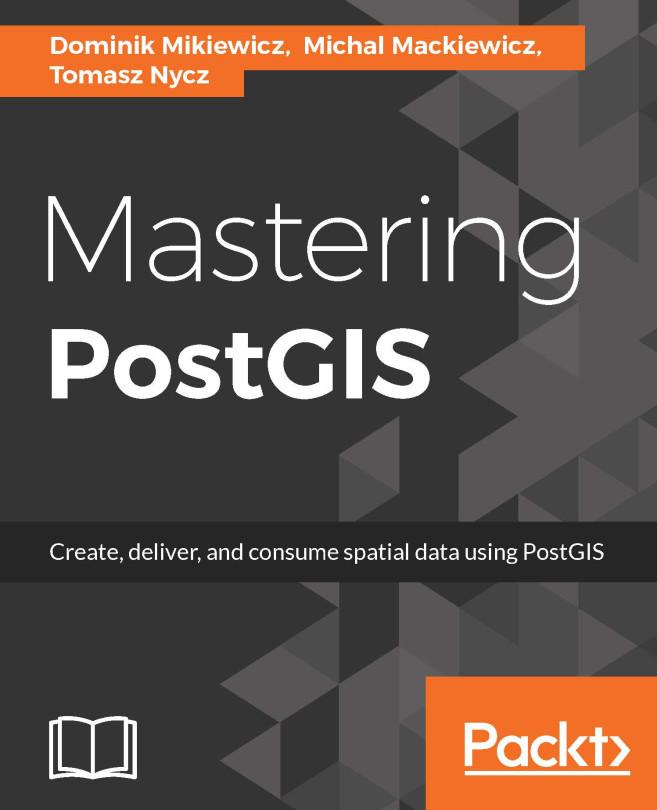
PostGIS is open source extension onf PostgreSQL object-relational database system that allows GIS objects to be stored and allows querying for information and location services. The aim of this book is to help you master the functionalities offered by PostGIS- from data creation, analysis and output, to ETL and live edits.
The book begins with an overview of the key concepts related to spatial database systems and how it applies to Spatial RMDS. You will learn to load different formats into your Postgres instance, investigate the spatial nature of your raster data, and finally export it using built-in functionalities or 3th party tools for backup or representational purposes.
Through the course of this book, you will be presented with many examples on how to interact with the database using JavaScript and Node.js. Sample web-based applications interacting with backend PostGIS will also be presented throughout the book, so you can get comfortable with the modern ways of consuming and modifying your spatial data.
Pages: 328
Catégorie: Data & AI
e-ISBN: 9781784391645
Poids d'expédition: 1.2 kg
Expédié sous: 1-2 jours
Payez facilement par carte, Klarna, Apple Pay ou Google Pay. Pas satisfait ? Vous avez toujours une garantie de remboursement de 14 jours. En savoir plus dans nos conditions. Si vous avez des questions, envoyez-nous un e-mail à hello@memmo.org.
Memmo facilite tes études, où que tu sois dans le monde. On rassemble tes manuels de cours et des outils d'étude intelligents au même endroit : résumés, quiz, podcasts et flashcards. Et il y a Ted, ton compagnon d'étude qui répond à toutes tes questions. Plus de 50 000 étudiants étudient déjà ici – conçu pour t'aider à apprendre plus vite et à moins stresser.