
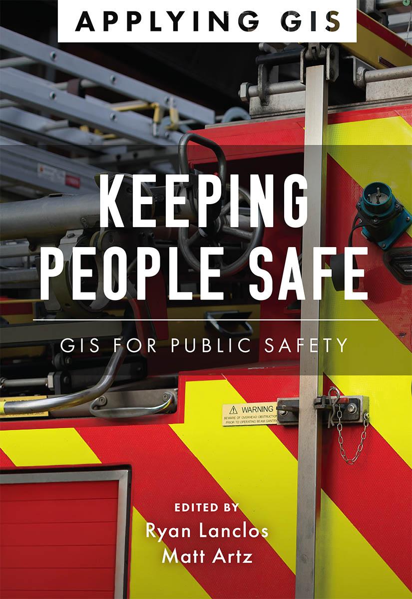
Discover a modern approach to help mitigate threats to public safety in your community.
Creating safer, less vulnerable communities requires a modern approach to understanding threats and hazards that are more complex, costly, and devastating than ever before. Public safety agencies around the world rely on geographic information systems (GIS) technology every day to prevent, protect against, and mitigate the effects of threats and hazards in their communities. By applying GIS, you'll develop a deeper understanding of these complex threats to help you better respond to and recover from the threats that pose the greatest risk to keeping your community safe and ultimately build the resilience needed for the future.
Keeping People Safe: GIS for Public Safety explores a collection of real-life case studies about emergency management, law enforcement, fire, rescue, emergency medical services, and homeland security agencies successfully using GIS for real and potential threats. The book also includes a “how to get started” section that provides ideas, strategies, tools, and actions to help jump-start your own use of GIS for public safety. A collection of online resources, including additional stories, videos, new ideas and concepts, and downloadable tools and content, complements this book.
Payez facilement par carte, Klarna, Apple Pay ou Google Pay. Pas satisfait ? Vous avez toujours une garantie de remboursement de 14 jours. En savoir plus dans nos conditions. Si vous avez des questions, envoyez-nous un e-mail à hello@memmo.org.
Memmo facilite tes études, où que tu sois dans le monde. On rassemble tes manuels de cours et des outils d'étude intelligents au même endroit : résumés, quiz, podcasts et flashcards. Et il y a Ted, ton compagnon d'étude qui répond à toutes tes questions. Plus de 50 000 étudiants étudient déjà ici – conçu pour t'aider à apprendre plus vite et à moins stresser.