
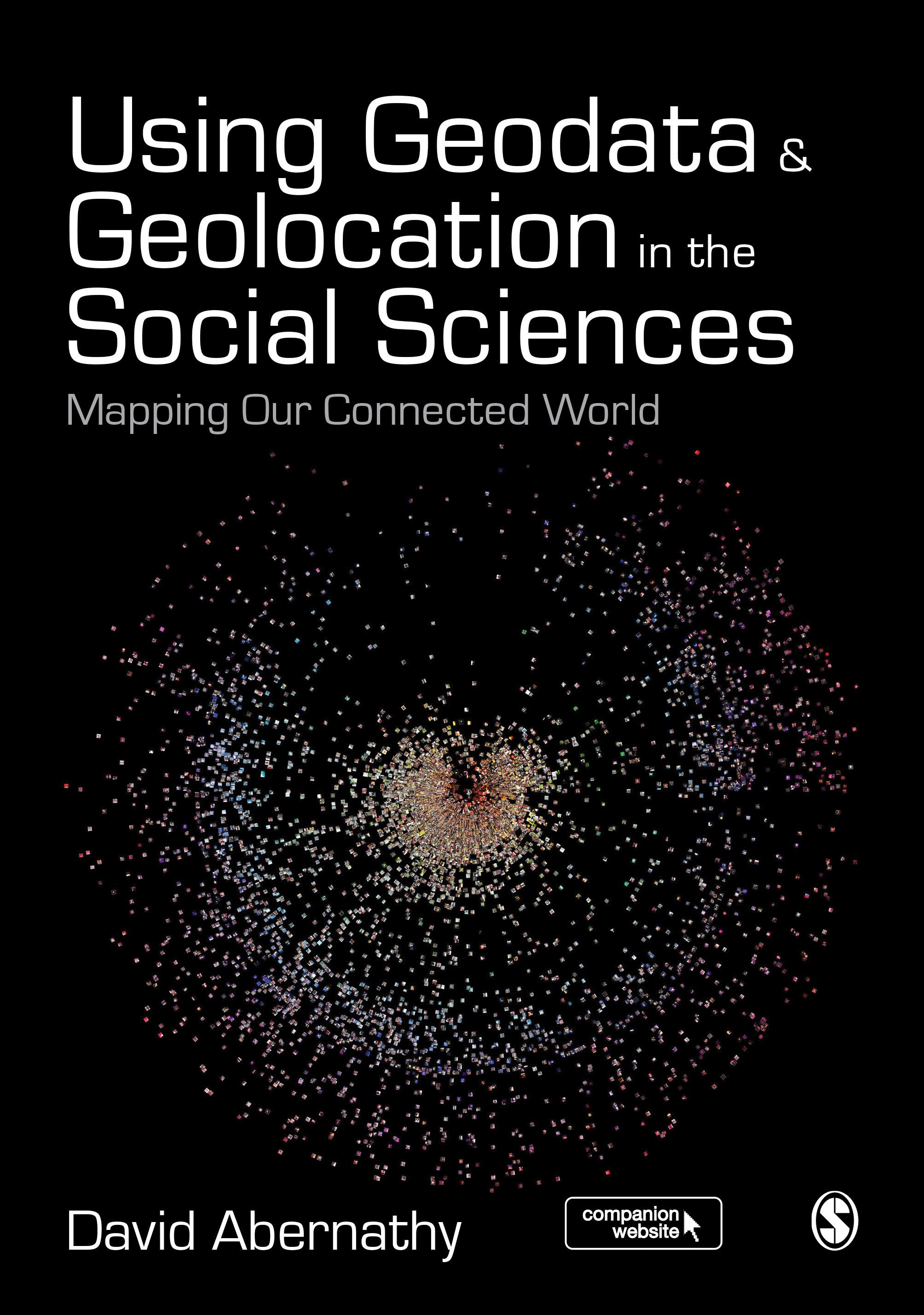
"Abernathy provides a truly accessible and interdisciplinary introduction to geodata and geolocation covering both the conceptual and the practical. It is a must read for students or researchers looking to make the most of the spatial elements of their data" - Luke Sloan, Senior Lecturer in Quantitative Methods, Cardiff University
Using Geodata and Geolocation in the Social Sciences: Mapping our Connected World provides an engaging and accessible introduction to the Geoweb with clear, step-by-step guides for:
- Capturing Geodata from sources including GPS, sensor networks and Twitter
- Visualizing Geodata using programmes including QGIS, GRASS and R
Featuring colour images, practical exercises walking you through using data sources, and a companion website packed with resources, this book is the perfect guide for students and teachers looking to incorporate location-based data into their social science research.
Payez facilement par carte, Klarna, Apple Pay ou Google Pay. Pas satisfait ? Vous avez toujours une garantie de remboursement de 14 jours. En savoir plus dans nos conditions. Si vous avez des questions, envoyez-nous un e-mail à hello@memmo.org.
Memmo facilite tes études, où que tu sois dans le monde. On rassemble tes manuels de cours et des outils d'étude intelligents au même endroit : résumés, quiz, podcasts et flashcards. Et il y a Ted, ton compagnon d'étude qui répond à toutes tes questions. Plus de 50 000 étudiants étudient déjà ici – conçu pour t'aider à apprendre plus vite et à moins stresser.