
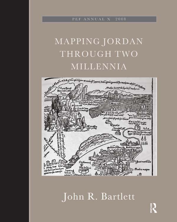
This book shows how travellers and scholars since Roman times have put together their maps of the land east of the River Jordan. It traces the contribution of Roman armies and early Christian pilgrims and medieval European travellers, Crusading armies, learned scholars like Jacob Ziegler, sixteenth-century mapmakers like Mercator and Ortelius, eighteenth-century travellers and savants, and nineteenth-century biblical scholars and explorers like Robinson and Smith, culminating in the late-nineteenth century surveyors working for the Palestine Exploration Fund. This original and valuable book shows, with full illustrations, how maps of the Transjordan region developed through the centuries, and with its detailed tables and bibliography will aid future scholars in further research.The author took part in archaeological excavations and surveys in Jordan, was Associate Professor of Biblical Studies and Fellow at Trinity College Dublin, has published research papers and books on ancient Jordan. John Bartlett was the editor of the Palestine Exploration Quarterly, and until recently was the Chairman of the Palestine Exploration Fund.
Payez facilement par carte, Klarna, Apple Pay ou Google Pay. Pas satisfait ? Vous avez toujours une garantie de remboursement de 14 jours. En savoir plus dans nos conditions. Si vous avez des questions, envoyez-nous un e-mail à hello@memmo.org.
Memmo facilite tes études, où que tu sois dans le monde. On rassemble tes manuels de cours et des outils d'étude intelligents au même endroit : résumés, quiz, podcasts et flashcards. Et il y a Ted, ton compagnon d'étude qui répond à toutes tes questions. Plus de 50 000 étudiants étudient déjà ici – conçu pour t'aider à apprendre plus vite et à moins stresser.
Tu pourrais aussi aimer
Acheter le livre0