
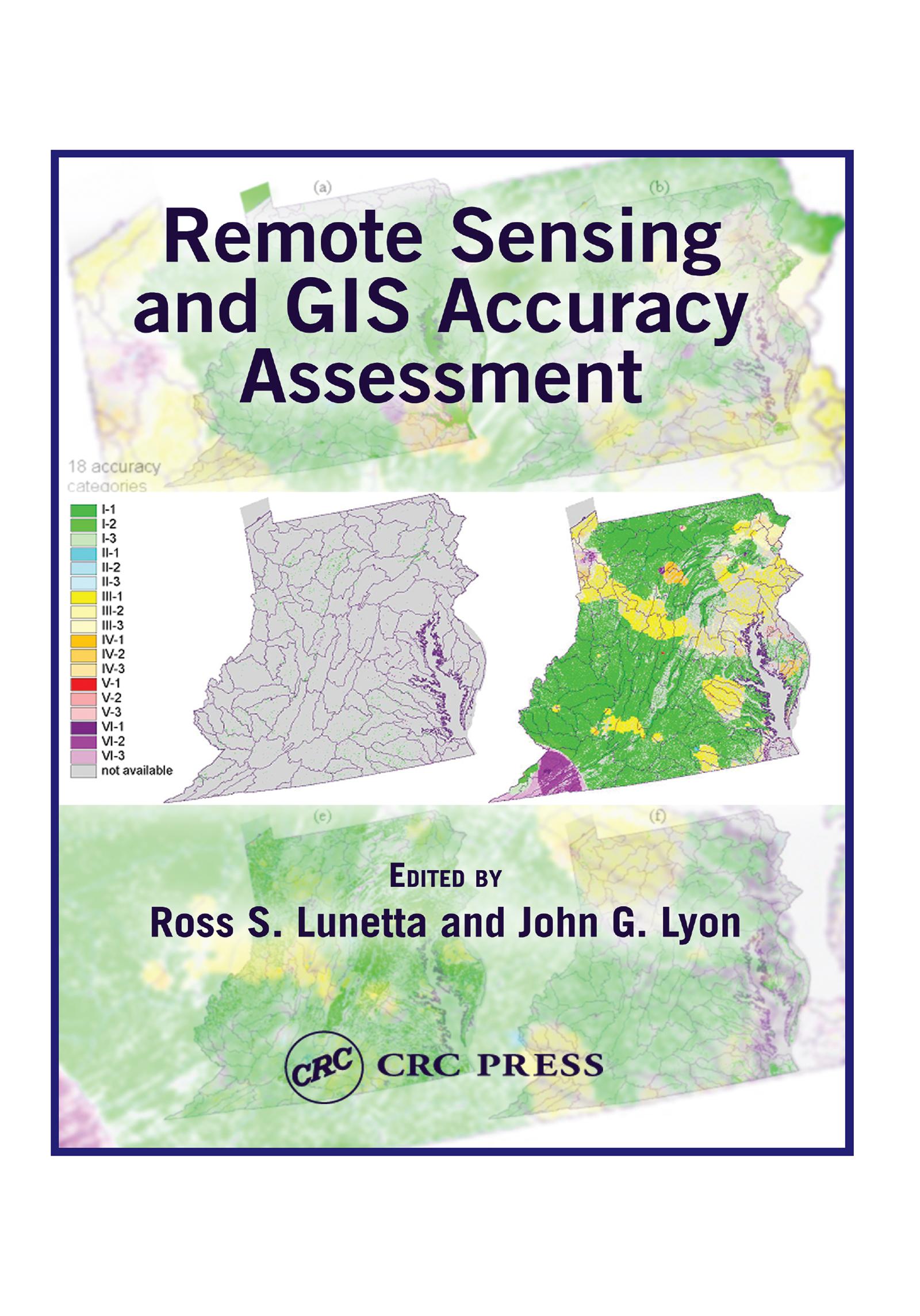
Based upon a special symposium sponsored by the U.S. Environmental Protection Agency (EPA), Remote Sensing and GIS Accuracy Assessment evaluates the important scientific elements related to the performance of accuracy assessments for remotely sensed data, GIS data analysis, and integration products. Scientists from federal, state, and local governments, academia, and nongovernmental organizations present technical papers which examine sampling issues, reference data collection, edge and boundary effects, error matrix and fuzzy assessments, error budget analysis, and change detection accuracy assessment. This compilation contains 20 chapters that represent important symposium outcomes.
Payez facilement par carte, Klarna, Apple Pay ou Google Pay. Pas satisfait ? Vous avez toujours une garantie de remboursement de 14 jours. En savoir plus dans nos conditions. Si vous avez des questions, envoyez-nous un e-mail à hello@memmo.org.
Memmo facilite tes études, où que tu sois dans le monde. On rassemble tes manuels de cours et des outils d'étude intelligents au même endroit : résumés, quiz, podcasts et flashcards. Et il y a Ted, ton compagnon d'étude qui répond à toutes tes questions. Plus de 50 000 étudiants étudient déjà ici – conçu pour t'aider à apprendre plus vite et à moins stresser.
Tu pourrais aussi aimer
Acheter le livre0