
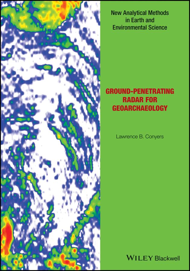
There has long been a strong collaboration between geologists and archaeologists, and the sub-field of geoarchaeology is well developed as a discipline in its own right. This book now bridges the gap between those fields and the geophysical technique of ground-penetrating radar (GPR), which allows for three-dimensional analysis of the ground to visualize both geological and archaeological materials. This method has the ability to produce images of the ground that display complex packages of materials, and allows researchers to integrate sedimentary units, soils and associated archaeological features in ways not possible using standard excavation techniques. The ability of GPR to visualize all these buried units can help archaeologists place ancient people within the landscapes and environments of their time, and understand their burial and preservation phenomena in three-dimensions.
Readership: Advanced students in archaeology and geoarchaeology, as well as practicing archaeologists with an interest in GPS techniques.
Payez facilement par carte, Klarna, Apple Pay ou Google Pay. Pas satisfait ? Vous avez toujours une garantie de remboursement de 14 jours. En savoir plus dans nos conditions. Si vous avez des questions, envoyez-nous un e-mail à hello@memmo.org.
Memmo facilite tes études, où que tu sois dans le monde. On rassemble tes manuels de cours et des outils d'étude intelligents au même endroit : résumés, quiz, podcasts et flashcards. Et il y a Ted, ton compagnon d'étude qui répond à toutes tes questions. Plus de 50 000 étudiants étudient déjà ici – conçu pour t'aider à apprendre plus vite et à moins stresser.