
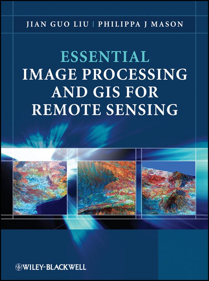
Key concepts and ideas are introduced in a clear and logical manner and described through the provision of numerous relevant conceptual illustrations. Mathematical detail is kept to a minimum and only referred to where necessary for ease of understanding. Such concepts are explained through common sense terms rather than in rigorous mathematical detail when explaining image processing and GIS techniques, to enable students to grasp the essentials of a notoriously challenging subject area.
The book is clearly divided into three parts, with the first part introducing essential image processing techniques for remote sensing. The second part looks at GIS and begins with an overview of the concepts, structures and mechanisms by which GIS operates. Finally the third part introduces Remote Sensing Applications. Throughout the book the relationships between GIS, Image Processing and Remote Sensing are clearly identified to ensure that students are able to apply the various techniques that have been covered appropriately. The latter chapters use numerous relevant case studies to illustrate various remote sensing, image processing and GIS applications in practice.
Payez facilement par carte, Klarna, Apple Pay ou Google Pay. Pas satisfait ? Vous avez toujours une garantie de remboursement de 14 jours. En savoir plus dans nos conditions. Si vous avez des questions, envoyez-nous un e-mail à hello@memmo.org.
Memmo facilite tes études, où que tu sois dans le monde. On rassemble tes manuels de cours et des outils d'étude intelligents au même endroit : résumés, quiz, podcasts et flashcards. Et il y a Ted, ton compagnon d'étude qui répond à toutes tes questions. Plus de 50 000 étudiants étudient déjà ici – conçu pour t'aider à apprendre plus vite et à moins stresser.