
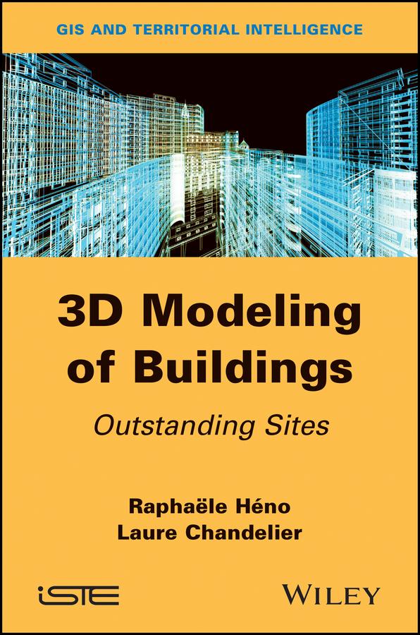
Conventional topographic databases, obtained by capture on aerial or spatial images provide a simplified 3D modeling of our urban environment, answering the needs of numerous applications (development, risk prevention, mobility management, etc.). However, when we have to represent and analyze more complex sites (monuments, civil engineering works, archeological sites, etc.), these models no longer suffice and other acquisition and processing means have to be implemented. This book focuses on the study of adapted lifting means for “notable buildings”. The methods tackled in this book cover lasergrammetry and the current techniques of dense correlation based on images using conventional photogrammetry.
Payez facilement par carte, Klarna, Apple Pay ou Google Pay. Pas satisfait ? Vous avez toujours une garantie de remboursement de 14 jours. En savoir plus dans nos conditions. Si vous avez des questions, envoyez-nous un e-mail à hello@memmo.org.
Memmo facilite tes études, où que tu sois dans le monde. On rassemble tes manuels de cours et des outils d'étude intelligents au même endroit : résumés, quiz, podcasts et flashcards. Et il y a Ted, ton compagnon d'étude qui répond à toutes tes questions. Plus de 50 000 étudiants étudient déjà ici – conçu pour t'aider à apprendre plus vite et à moins stresser.