
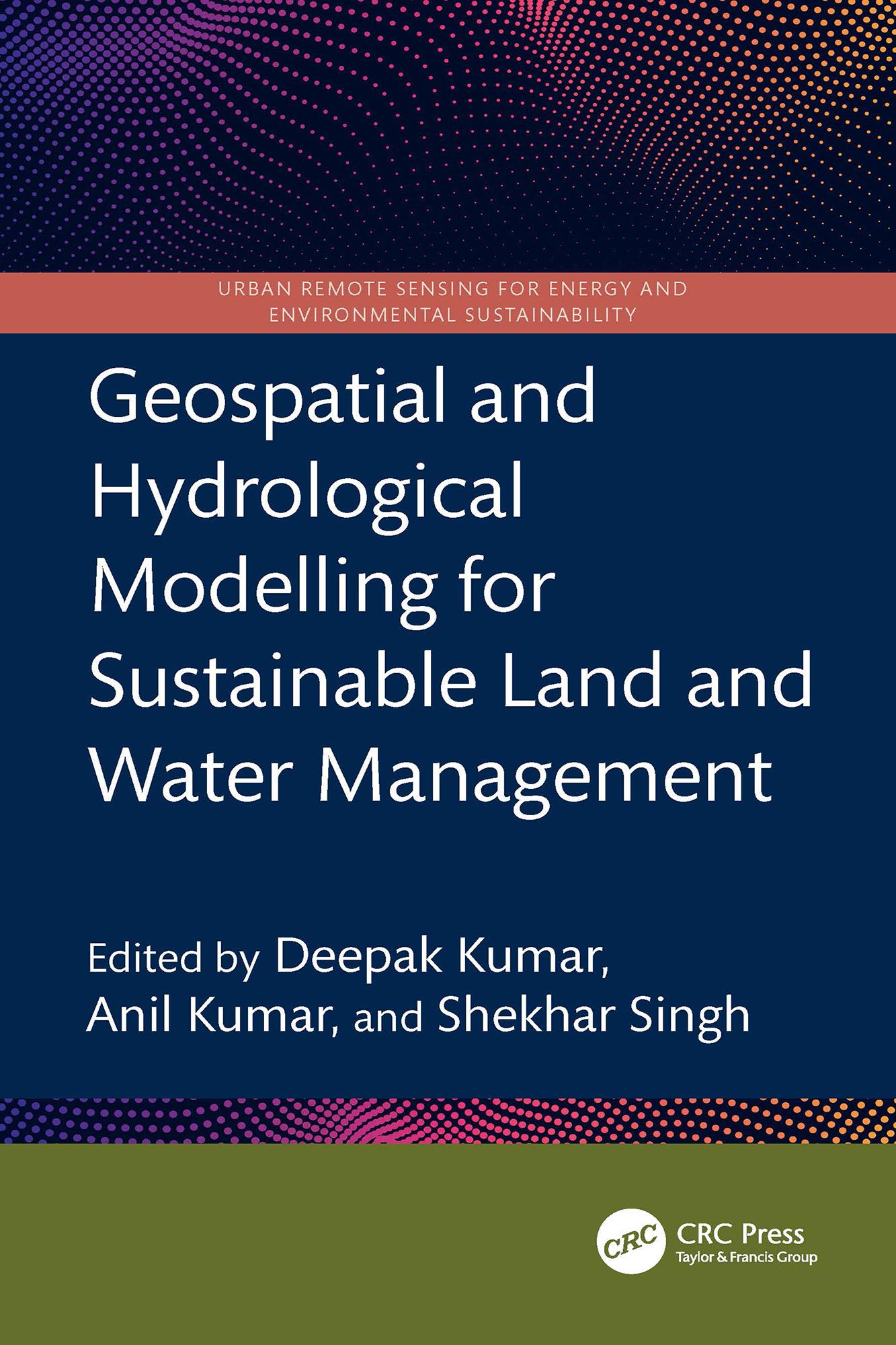
This book presents a holistic scientific approach to addressing current and future challenges in the sustainable management of land and water resources, supported by geospatial and hydrological modelling. It explores remote sensing integrated with hydrological modelling for watershed management, land and water resource planning, soil erosion and sediment transport studies using satellite data, and climate change impact assessments on land and water systems all illustrated through case studies.
- Focuses on both geospatial and hydrological modelling for effective land and water resource management
- Covers topics including Google Earth Engine, forest land management, coastal land issues, geo-hydrology, and salinity problems
- Discusses Intergovernmental Panel on Climate Change (IPCC) guidelines for water resource management
- Incorporates big data and machine learning applications in water resource management
- Reviews digital image processing techniques applied to satellite data
This book is intended for researchers and professionals in hydrological engineering, geospatial technologies, and environmental engineering.
Payez facilement par carte, Klarna, Apple Pay ou Google Pay. Pas satisfait ? Vous avez toujours une garantie de remboursement de 14 jours. En savoir plus dans nos conditions. Si vous avez des questions, envoyez-nous un e-mail à hello@memmo.org.
Memmo facilite tes études, où que tu sois dans le monde. On rassemble tes manuels de cours et des outils d'étude intelligents au même endroit : résumés, quiz, podcasts et flashcards. Et il y a Ted, ton compagnon d'étude qui répond à toutes tes questions. Plus de 50 000 étudiants étudient déjà ici – conçu pour t'aider à apprendre plus vite et à moins stresser.