
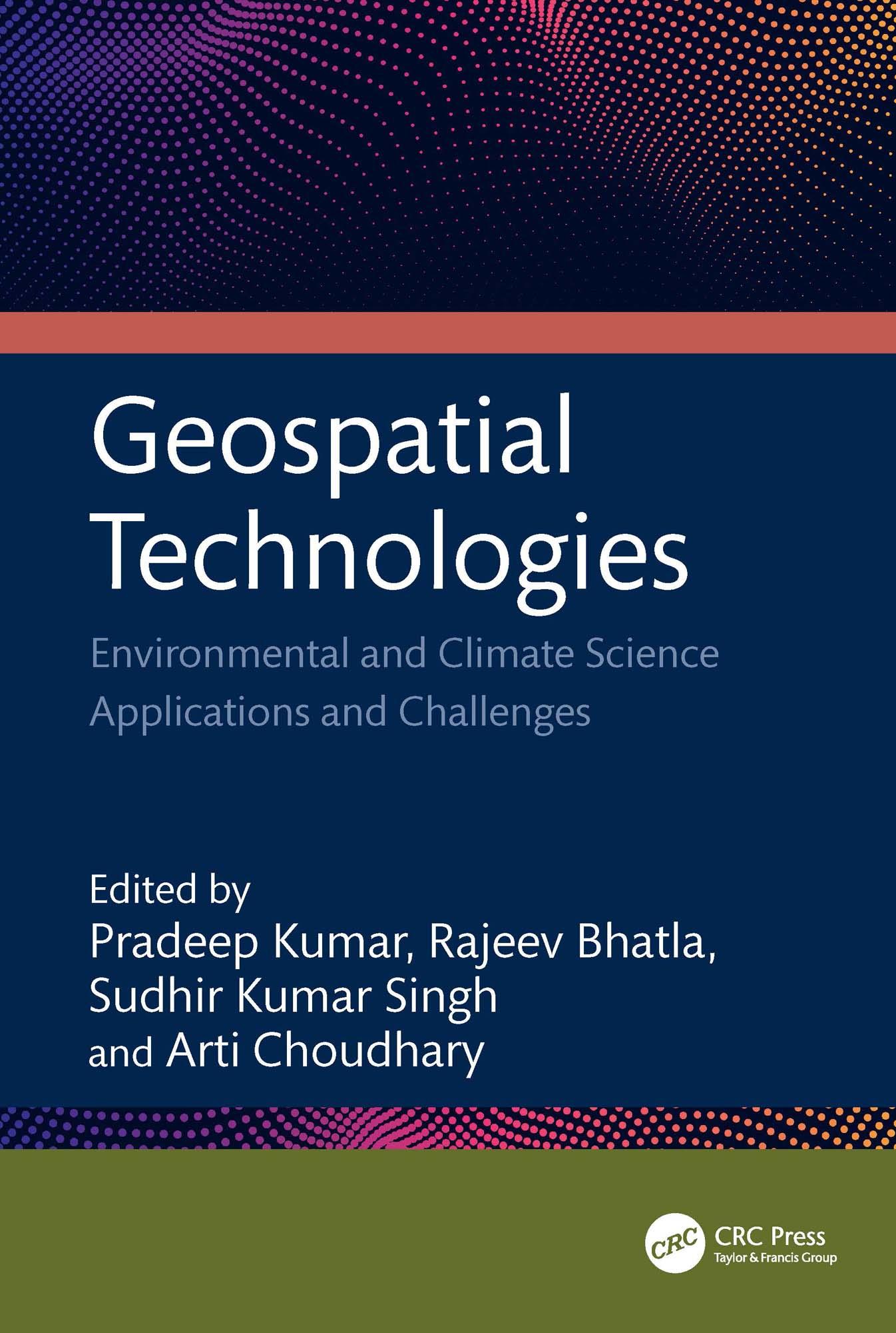
This book focuses on geospatial techniques, climate science, and predicting risk applications and challenges. It bridges the gap between the principles of geographic information science (GIS), remote sensing technology, global positioning system (GPS), and machine learning. It emphasizes the application and significance of remotely sensed data and GIS technologies in different aspects of climate science data. It considers the use of geospatial and AI in resource studies, primarily focusing on water, air, soil, urban, climate, and environmental aspects supported by case studies.
Features:
• Includes geographic technologies application with an emphasis on its modeling of climate change and meteorological elements.
• Merges geospatial technologies and AI methodologies.
• Provides canvas for social impact and community involvement in the application of geospatial technology across several industries.
• Examines heatwaves, cold waves, and dust storm models using satellite data and GIS.
• Case studies highlight the use and applicability of drones with geospatial technology.
This book is aimed at researchers and graduate students in geospatial sciences and environmental engineering.
Payez facilement par carte, Klarna, Apple Pay ou Google Pay. Pas satisfait ? Vous avez toujours une garantie de remboursement de 14 jours. En savoir plus dans nos conditions. Si vous avez des questions, envoyez-nous un e-mail à hello@memmo.org.
Memmo facilite tes études, où que tu sois dans le monde. On rassemble tes manuels de cours et des outils d'étude intelligents au même endroit : résumés, quiz, podcasts et flashcards. Et il y a Ted, ton compagnon d'étude qui répond à toutes tes questions. Plus de 50 000 étudiants étudient déjà ici – conçu pour t'aider à apprendre plus vite et à moins stresser.