
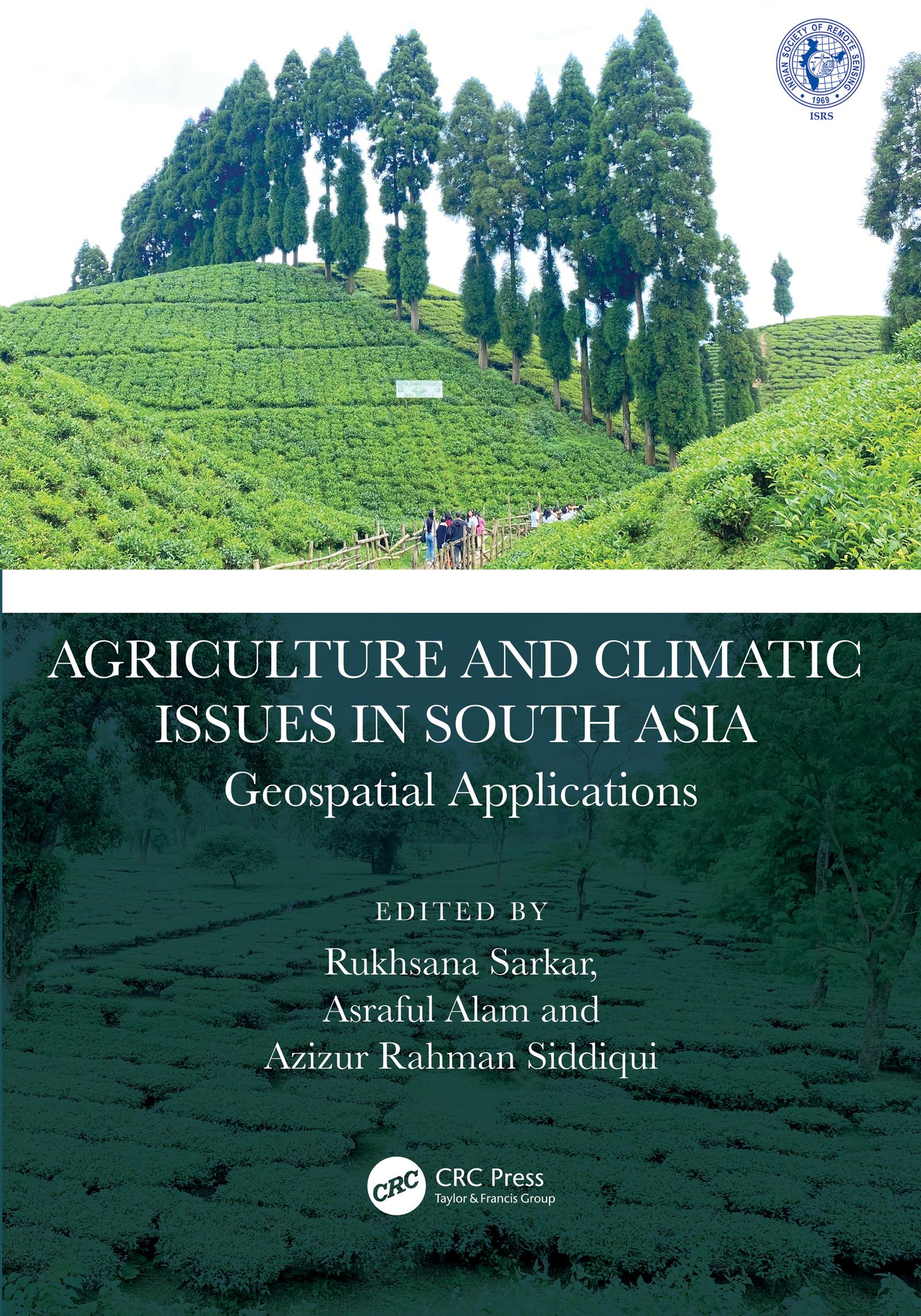
This book presents focussed information related to dynamic cropland transformation, agriculture development, climate change, and environment with the application of advance geospatial technology. It describes research using geospatial tools and techniques to develop the models, design, and planning for agricultural land use optimization especially in south Asian countries. It covers agriculture production, water scarcity, industrial development, natural resources, environmental degradation, and sustainable development.
Features:
- Provides the adaptation strategy from a multidisciplinary resilience perspective
- Addresses contemporary agricultural resilience to various climate change issues
- Develops novel approaches for sustainability with environmentally sound practices
- Discusses methodological and innovative approaches at local to global perspective
- Reports research using geospatial tools and techniques to develop the models, design, and planning for agricultural land use optimization
The book is aimed at researchers, professionals, and graduate students in GIS, environmental engineering, geography, agriculture, and climate studies.
Payez facilement par carte, Klarna, Apple Pay ou Google Pay. Pas satisfait ? Vous avez toujours une garantie de remboursement de 14 jours. En savoir plus dans nos conditions. Si vous avez des questions, envoyez-nous un e-mail à hello@memmo.org.
Memmo facilite tes études, où que tu sois dans le monde. On rassemble tes manuels de cours et des outils d'étude intelligents au même endroit : résumés, quiz, podcasts et flashcards. Et il y a Ted, ton compagnon d'étude qui répond à toutes tes questions. Plus de 50 000 étudiants étudient déjà ici – conçu pour t'aider à apprendre plus vite et à moins stresser.