
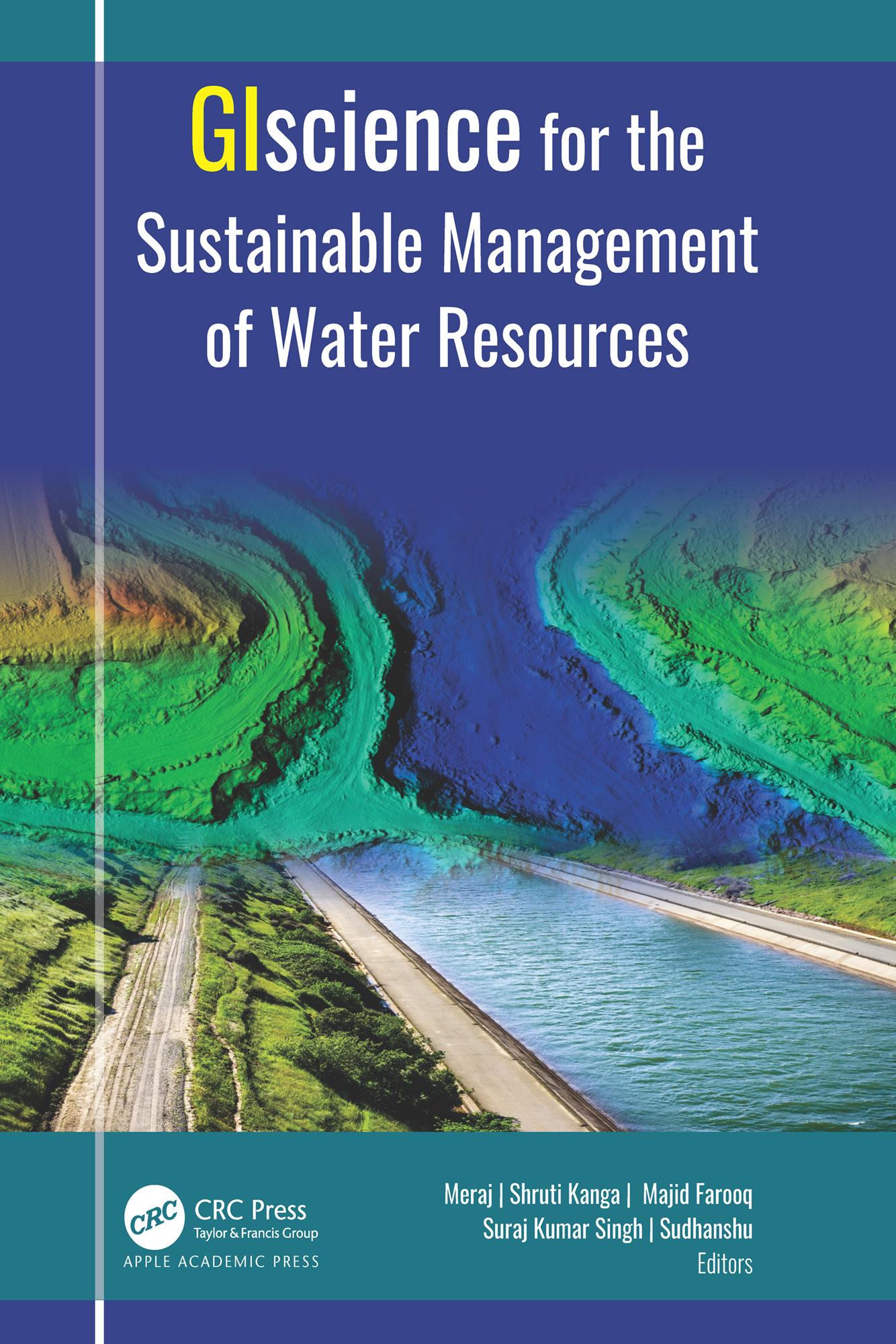
Water is one of the most critical resources of nature that is necessary for sustaining life for all living things. This volume discusses in detail a selection of geospatial approaches, tools, and techniques for understanding the root causes behind the degradation of our water resources.
Satellite remote sensing provides essential data for mapping water resources, hydrology flux measurement, monitoring drought, and flood inundation. With an abundance of informative case studies, this volume discusses the use of the satellite remote sensing and GIS-based systems for managing urban storm water; for flood and soil erosion management; for mapping groundwater zones; for crop production, including measuring soil moisture and aridity; for gauging the impact of climate change; for evaluating glacier change dynamics; for assessing the impact of urban growth on water resources; for measuring the degradation of rivers; and more.
Payez facilement par carte, Klarna, Apple Pay ou Google Pay. Pas satisfait ? Vous avez toujours une garantie de remboursement de 14 jours. En savoir plus dans nos conditions. Si vous avez des questions, envoyez-nous un e-mail à hello@memmo.org.
Memmo facilite tes études, où que tu sois dans le monde. On rassemble tes manuels de cours et des outils d'étude intelligents au même endroit : résumés, quiz, podcasts et flashcards. Et il y a Ted, ton compagnon d'étude qui répond à toutes tes questions. Plus de 50 000 étudiants étudient déjà ici – conçu pour t'aider à apprendre plus vite et à moins stresser.