
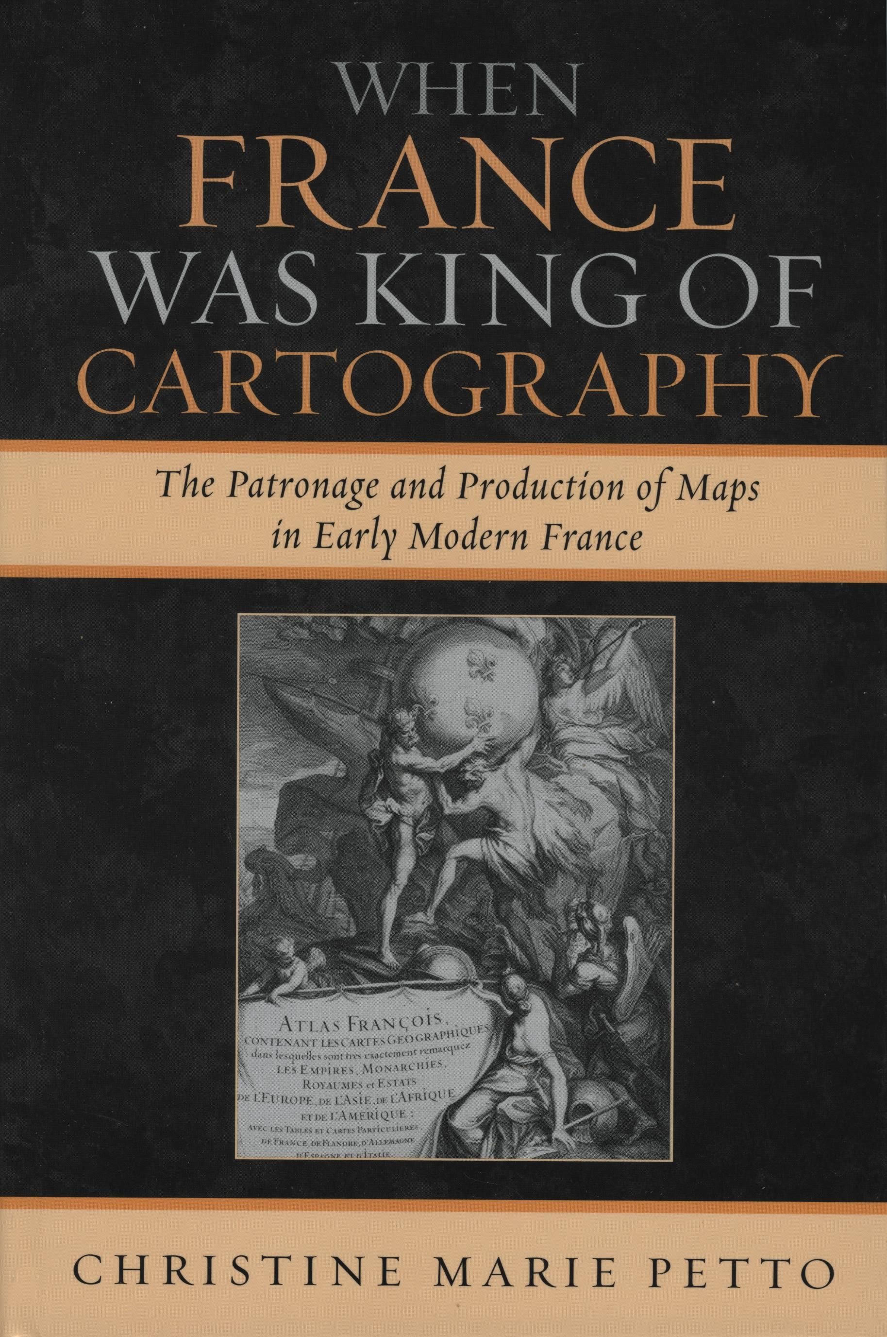
Geographical works, as socially constructed texts, provide a rich source for historians and historians of science investigating patronage, the governmental initiatives and support for science, and the governmental involvement in early modern commerce. Over the course of nearly two centuries (1594-1789), in adopting and adapting maps as tools of statecraft, the Bourbon Dynasty both developed patron-client relations with mapmakers and corporations and created scientific institutions with fundamental geographical goals. Concurrently, France-particularly, Paris-emerged as the dominant center of map production. Individual producers tapped the traditional avenues of patronage, touted the authority of science in their works, and sought both protection and legitimation for their commercial endeavors within the printing industry. Under the reign of the Sun King, these producers of geographical works enjoyed preeminence in the sphere of cartography and employed the familiar rhetoric of image to glorify the reign of Louis XIV. Later, as scientists and scholars embraced Enlightenment empiricism, geographical works adopted the rhetoric of scientific authority and championed the concept that rational thought would lead to progress.
When France Was King of Cartography investigates over a thousand maps and nearly two dozen map producers, analyzes the map as a cultural artifact, map producers as a group, and the array of map viewers over the course of two centuries in France. The book focuses on situated knowledge or "localized" interests reflected in these geographical productions. Through the lens of mapmaking, When France Was King of Cartography examines the relationship between power and the practice of patronage, geography, and commerce in early modern France.
When France Was King of Cartography investigates over a thousand maps and nearly two dozen map producers, analyzes the map as a cultural artifact, map producers as a group, and the array of map viewers over the course of two centuries in France. The book focuses on situated knowledge or "localized" interests reflected in these geographical productions. Through the lens of mapmaking, When France Was King of Cartography examines the relationship between power and the practice of patronage, geography, and commerce in early modern France.
Payez facilement par carte, Klarna, Apple Pay ou Google Pay. Pas satisfait ? Vous avez toujours une garantie de remboursement de 14 jours. En savoir plus dans nos conditions. Si vous avez des questions, envoyez-nous un e-mail à hello@memmo.org.
Memmo facilite tes études, où que tu sois dans le monde. On rassemble tes manuels de cours et des outils d'étude intelligents au même endroit : résumés, quiz, podcasts et flashcards. Et il y a Ted, ton compagnon d'étude qui répond à toutes tes questions. Plus de 50 000 étudiants étudient déjà ici – conçu pour t'aider à apprendre plus vite et à moins stresser.