
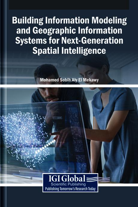
The integration of building information modeling (BIM) and geographic information systems (GIS) develops innovative spatial intelligence. BIM provides detailed representations of built environments, while GIS captures the geographical and environmental context in which these structures exist. When combined, these systems enable a seamless flow of spatial information, from individual buildings to entire cities, enhancing decision-making in urban planning, infrastructure management, and sustainable development. This convergence fosters a more holistic understanding of spatial relationships, supporting smarter, data-driven approaches to design, construction, and governance in an interconnected world. Building Information Modeling and Geographic Information Systems for Next-Generation Spatial Intelligence explores the convergence of BIM and GIS in the field of urban planning. It examines how the integration of these tools revolutionizes the design, analysis, and management of urban environments for smarter, more sustainable cities. This book covers topics such as data science, civil engineering, and environmental science, and is a useful resource for engineers, policymakers, academicians, researchers, and scientists.
Sivuja: 294
Kategoria: Arkitektur & Stadsplanering
e-ISBN: 9798337340616
Lähetyspaino: 1.2 kg
Toimitusaika: 1-2 päivää
Maksa helposti kortilla, Klarnalla, Apple Paylla tai Google Paylla. Etkö ole tyytyväinen? Sinulla on aina 14 päivän palautusoikeus. Lue lisää ehdoistamme. Jos sinulla on kysyttävää, lähetä meille sähköpostia osoitteeseen hello@memmo.org.
Memmo tekee opiskelusta helpompaa – missä päin maailmaa ikinä oletkin. Meillä yhdistät kurssikirjat ja fiksut opiskelutyökalut yhteen paikkaan: tiivistelmät, visat, podcastit ja muistikortit. Ja sitten Ted, opiskelukaverisi, joka vastaa kaikkeen, mitä ikinä mietitkin. Yli 50 000 opiskelijaa opiskelee jo täällä – rakennettu auttamaan sinua oppimaan nopeammin ja stressaamaan vähemmän.
Saatat pitää myös näistä
Osta kirja0