
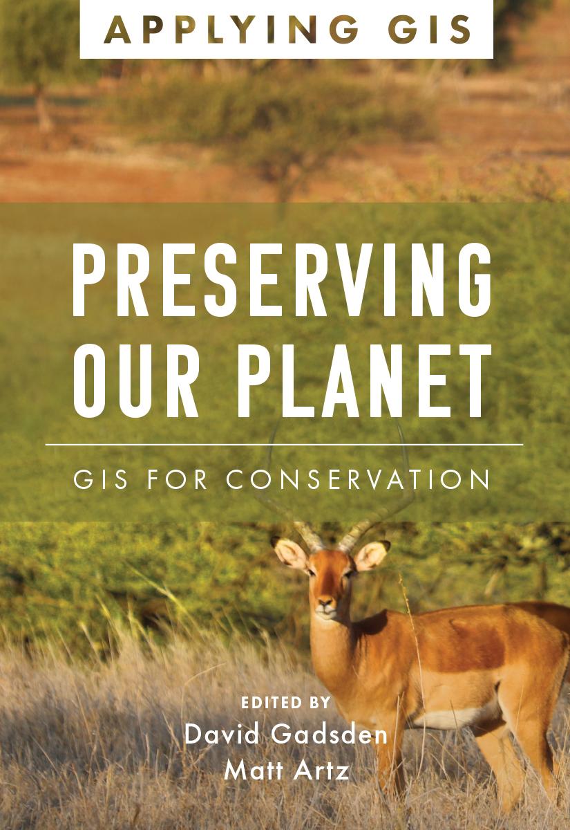
Discover the geographic approach to conservation land management and landscape conservation.
Geographic information system (GIS) technology offers a comprehensive tool for conservation professionals. A modern GIS gives users a real-time look at their data, locations, and their relationships. When applied to conservation, it reveals dependencies and challenges across multiple environments. Through maps and apps, conservation professionals can observe the field, analyze and organize their data, and collaborate with other organizations and the public on addressing threats and opportunities found. Preserving Our Planet: GIS for Conservation explores a collection of real-life stories about conservation organizations successfully using GIS to meet challenges to biodiversity preservation in our rapidly changing world.
The book also includes a section on next steps that provides ideas, strategies, tools, and actions to help you jump-start your own use of GIS for conservation. A collection of online resources, including additional stories, videos, new ideas and concepts, and downloadable tools and content, complements this book.
Edited by David Gadsden, director of conservation solutions at Esri, and Matt Artz, an Esri content strategist.
Maksa helposti kortilla, Klarnalla, Apple Paylla tai Google Paylla. Etkö ole tyytyväinen? Sinulla on aina 14 päivän palautusoikeus. Lue lisää ehdoistamme. Jos sinulla on kysyttävää, lähetä meille sähköpostia osoitteeseen hello@memmo.org.
Memmo tekee opiskelusta helpompaa – missä päin maailmaa ikinä oletkin. Meillä yhdistät kurssikirjat ja fiksut opiskelutyökalut yhteen paikkaan: tiivistelmät, visat, podcastit ja muistikortit. Ja sitten Ted, opiskelukaverisi, joka vastaa kaikkeen, mitä ikinä mietitkin. Yli 50 000 opiskelijaa opiskelee jo täällä – rakennettu auttamaan sinua oppimaan nopeammin ja stressaamaan vähemmän.