
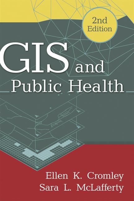
Authoritative and comprehensive, this is the leading text and professional resource on using geographic information systems (GIS) to analyze and address public health problems. Basic GIS concepts and tools are explained, including ways to access and manage spatial databases. The book presents state-of-the-art methods for mapping and analyzing data on population, health events, risk factors, and health services, and for incorporating geographical knowledge into planning and policy. Numerous maps, diagrams, and real-world applications are featured. The companion Web page provides lab exercises with data that can be downloaded for individual or course use.
New to This Edition
*Incorporates major technological advances, such as Internet-based mapping systems and the rise of data from cell phones and other GPS-enabled devices.
*Chapter on health disparities.
*Expanded coverage of public participation GIS.
*Companion Web page has all-new content.
*Goes beyond the United States to encompass an international focus.
Maksa helposti kortilla, Klarnalla, Apple Paylla tai Google Paylla. Etkö ole tyytyväinen? Sinulla on aina 14 päivän palautusoikeus. Lue lisää ehdoistamme. Jos sinulla on kysyttävää, lähetä meille sähköpostia osoitteeseen hello@memmo.org.
Memmo tekee opiskelusta helpompaa – missä päin maailmaa ikinä oletkin. Meillä yhdistät kurssikirjat ja fiksut opiskelutyökalut yhteen paikkaan: tiivistelmät, visat, podcastit ja muistikortit. Ja sitten Ted, opiskelukaverisi, joka vastaa kaikkeen, mitä ikinä mietitkin. Yli 50 000 opiskelijaa opiskelee jo täällä – rakennettu auttamaan sinua oppimaan nopeammin ja stressaamaan vähemmän.
Saatat pitää myös näistä
Osta kirja0