
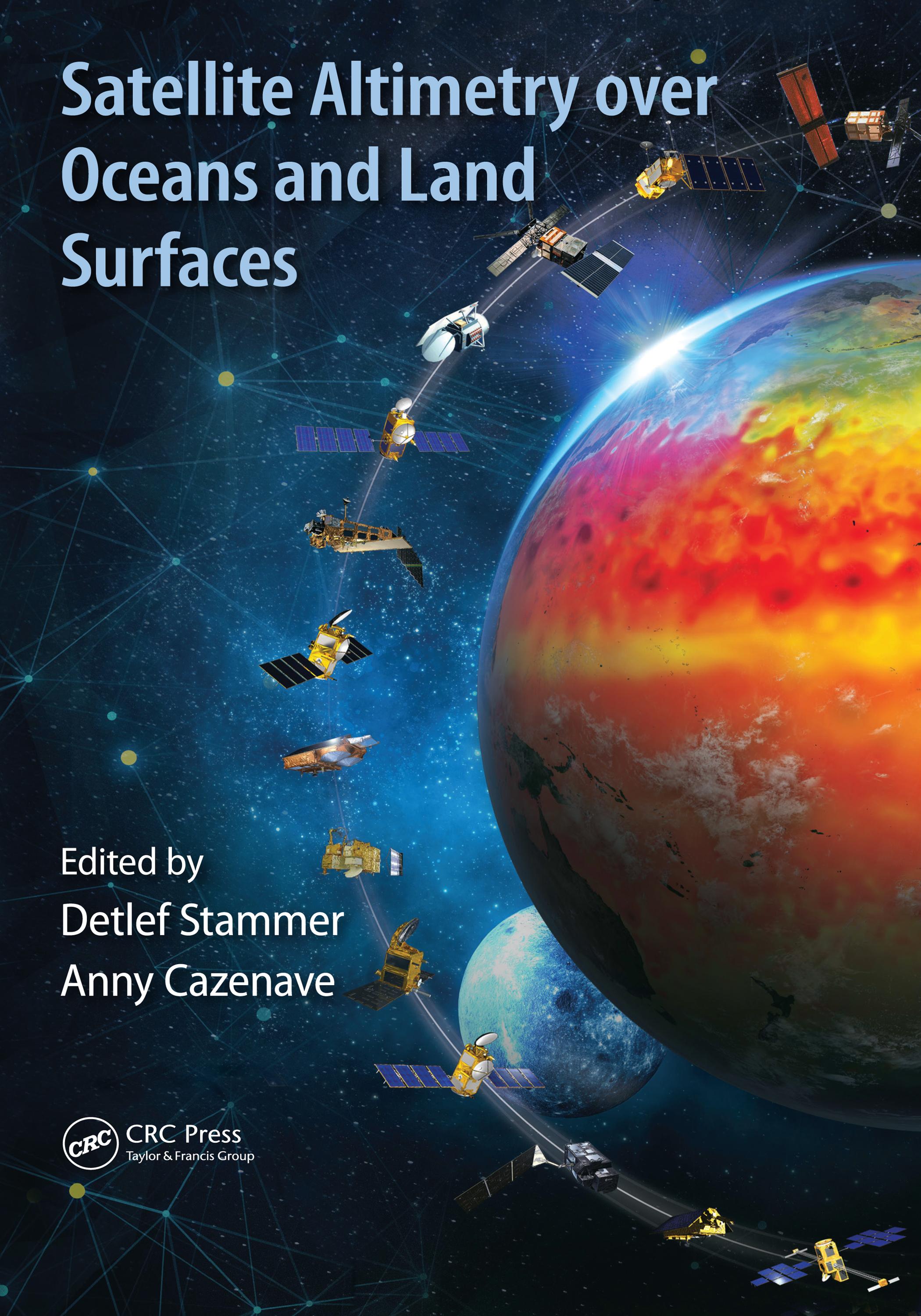
Satellite remote sensing, in particular by radar altimetry, is a crucial technique for observations of the ocean surface and of many aspects of land surfaces, and of paramount importance for climate and environmental studies. This book provides a state-of-the-art overview of the satellite altimetry techniques and related missions, and reviews the most-up-to date applications to ocean dynamics and sea level. It also discusses related space-based observations of the ocean surface and of the marine geoid, as well as applications of satellite altimetry to the cryosphere and land surface waters; operational oceanography and its applications to navigation, fishing and defense.
Maksa helposti kortilla, Klarnalla, Apple Paylla tai Google Paylla. Etkö ole tyytyväinen? Sinulla on aina 14 päivän palautusoikeus. Lue lisää ehdoistamme. Jos sinulla on kysyttävää, lähetä meille sähköpostia osoitteeseen hello@memmo.org.
Memmo tekee opiskelusta helpompaa – missä päin maailmaa ikinä oletkin. Meillä yhdistät kurssikirjat ja fiksut opiskelutyökalut yhteen paikkaan: tiivistelmät, visat, podcastit ja muistikortit. Ja sitten Ted, opiskelukaverisi, joka vastaa kaikkeen, mitä ikinä mietitkin. Yli 50 000 opiskelijaa opiskelee jo täällä – rakennettu auttamaan sinua oppimaan nopeammin ja stressaamaan vähemmän.