
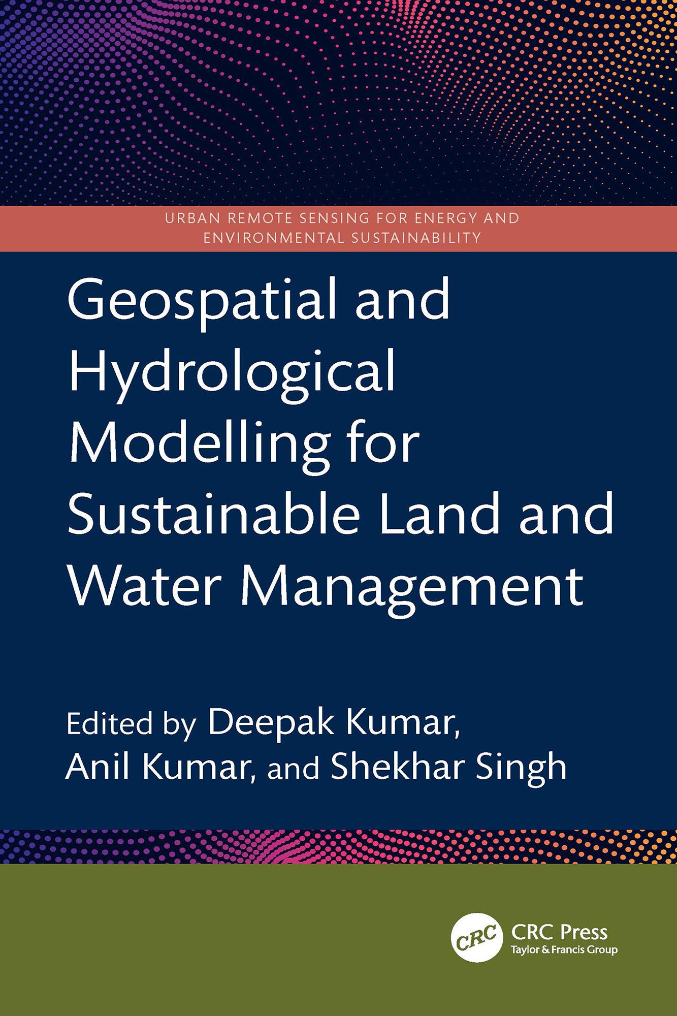
This book presents a holistic scientific approach to addressing current and future challenges in the sustainable management of land and water resources, supported by geospatial and hydrological modelling. It explores remote sensing integrated with hydrological modelling for watershed management, land and water resource planning, soil erosion and sediment transport studies using satellite data, and climate change impact assessments on land and water systems all illustrated through case studies.
- Focuses on both geospatial and hydrological modelling for effective land and water resource management
- Covers topics including Google Earth Engine, forest land management, coastal land issues, geo-hydrology, and salinity problems
- Discusses Intergovernmental Panel on Climate Change (IPCC) guidelines for water resource management
- Incorporates big data and machine learning applications in water resource management
- Reviews digital image processing techniques applied to satellite data
This book is intended for researchers and professionals in hydrological engineering, geospatial technologies, and environmental engineering.
Maksa helposti kortilla, Klarnalla, Apple Paylla tai Google Paylla. Etkö ole tyytyväinen? Sinulla on aina 14 päivän palautusoikeus. Lue lisää ehdoistamme. Jos sinulla on kysyttävää, lähetä meille sähköpostia osoitteeseen hello@memmo.org.
Memmo tekee opiskelusta helpompaa – missä päin maailmaa ikinä oletkin. Meillä yhdistät kurssikirjat ja fiksut opiskelutyökalut yhteen paikkaan: tiivistelmät, visat, podcastit ja muistikortit. Ja sitten Ted, opiskelukaverisi, joka vastaa kaikkeen, mitä ikinä mietitkin. Yli 50 000 opiskelijaa opiskelee jo täällä – rakennettu auttamaan sinua oppimaan nopeammin ja stressaamaan vähemmän.