
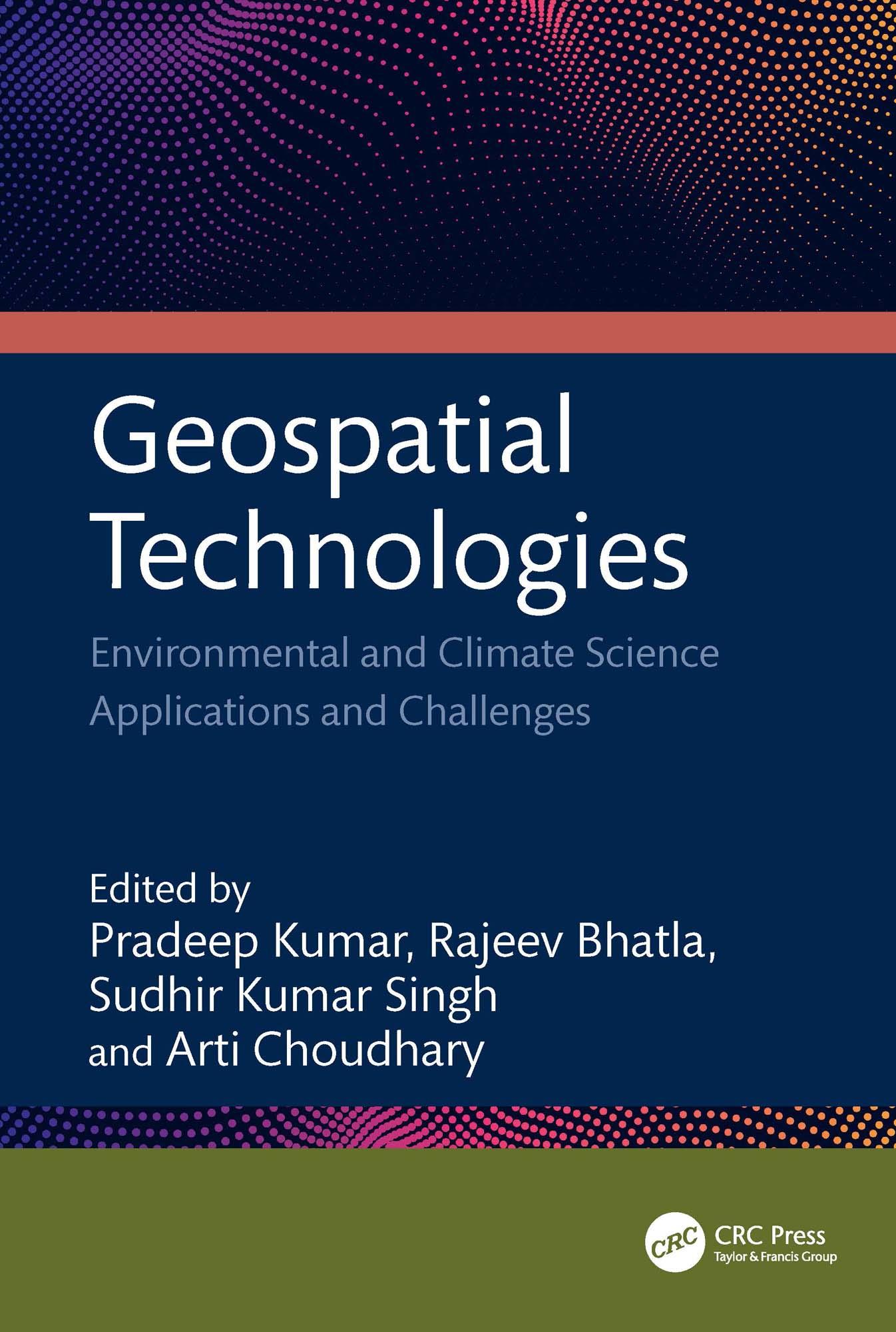
This book focuses on geospatial techniques, climate science, and predicting risk applications and challenges. It bridges the gap between the principles of geographic information science (GIS), remote sensing technology, global positioning system (GPS), and machine learning. It emphasizes the application and significance of remotely sensed data and GIS technologies in different aspects of climate science data. It considers the use of geospatial and AI in resource studies, primarily focusing on water, air, soil, urban, climate, and environmental aspects supported by case studies.
Features:
• Includes geographic technologies application with an emphasis on its modeling of climate change and meteorological elements.
• Merges geospatial technologies and AI methodologies.
• Provides canvas for social impact and community involvement in the application of geospatial technology across several industries.
• Examines heatwaves, cold waves, and dust storm models using satellite data and GIS.
• Case studies highlight the use and applicability of drones with geospatial technology.
This book is aimed at researchers and graduate students in geospatial sciences and environmental engineering.
Maksa helposti kortilla, Klarnalla, Apple Paylla tai Google Paylla. Etkö ole tyytyväinen? Sinulla on aina 14 päivän palautusoikeus. Lue lisää ehdoistamme. Jos sinulla on kysyttävää, lähetä meille sähköpostia osoitteeseen hello@memmo.org.
Memmo tekee opiskelusta helpompaa – missä päin maailmaa ikinä oletkin. Meillä yhdistät kurssikirjat ja fiksut opiskelutyökalut yhteen paikkaan: tiivistelmät, visat, podcastit ja muistikortit. Ja sitten Ted, opiskelukaverisi, joka vastaa kaikkeen, mitä ikinä mietitkin. Yli 50 000 opiskelijaa opiskelee jo täällä – rakennettu auttamaan sinua oppimaan nopeammin ja stressaamaan vähemmän.