
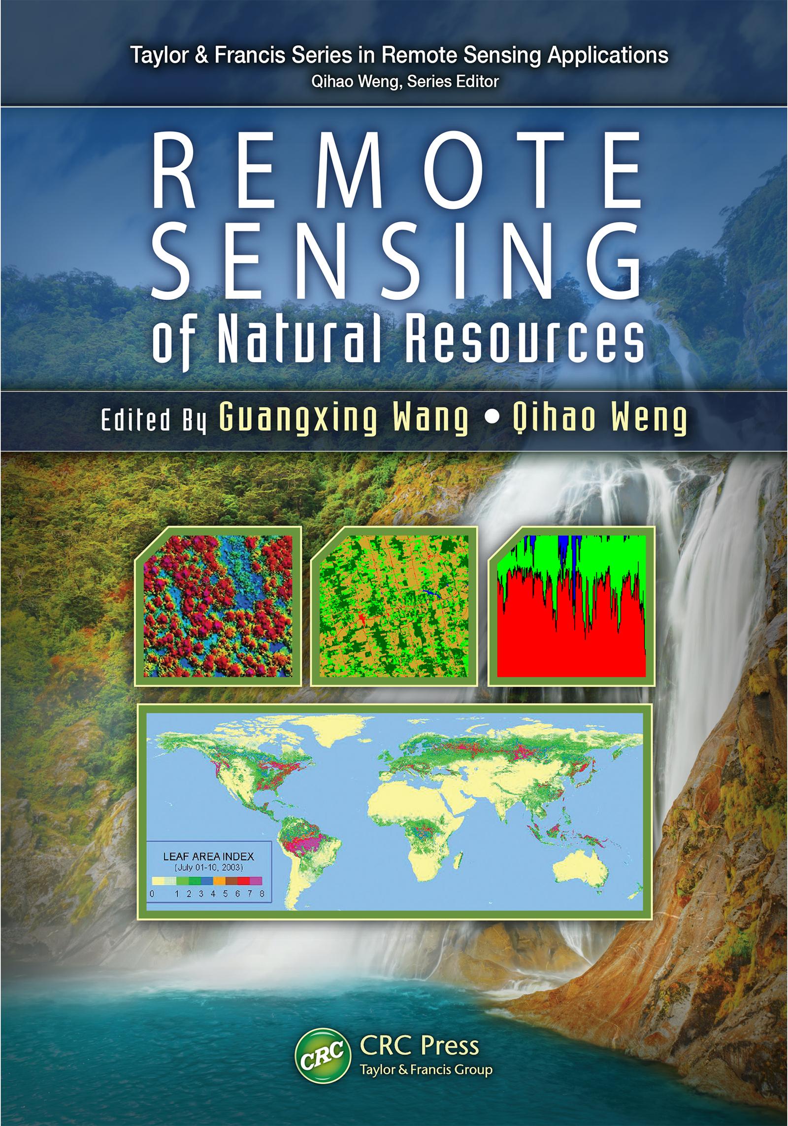
Highlighting new technologies, Remote Sensing of Natural Resources explores advanced remote sensing systems and algorithms for image processing, enhancement, feature extraction, data fusion, image classification, image-based modeling, image-based sampling design, map accuracy assessment and quality control. It also discusses their applications for evaluation of natural resources, including sampling design, land use and land cover classification, natural landscape and ecosystem assessment, forestry, agriculture, biomass and carbon-cycle modeling, wetland classification and dynamics monitoring, and soils and minerals mapping.
The book combines review articles with case studies that demonstrate recent advances and developments of methods, techniques, and applications of remote sensing, with each chapter on a specific area of natural resources. Through a comprehensive examination of the wide range of applications of remote sensing technologies to natural resources, the book provides insight into advanced remote sensing systems, technologies, and algorithms for researchers, scientists, engineers, and decision makers.
Maksa helposti kortilla, Klarnalla, Apple Paylla tai Google Paylla. Etkö ole tyytyväinen? Sinulla on aina 14 päivän palautusoikeus. Lue lisää ehdoistamme. Jos sinulla on kysyttävää, lähetä meille sähköpostia osoitteeseen hello@memmo.org.
Memmo tekee opiskelusta helpompaa – missä päin maailmaa ikinä oletkin. Meillä yhdistät kurssikirjat ja fiksut opiskelutyökalut yhteen paikkaan: tiivistelmät, visat, podcastit ja muistikortit. Ja sitten Ted, opiskelukaverisi, joka vastaa kaikkeen, mitä ikinä mietitkin. Yli 50 000 opiskelijaa opiskelee jo täällä – rakennettu auttamaan sinua oppimaan nopeammin ja stressaamaan vähemmän.