
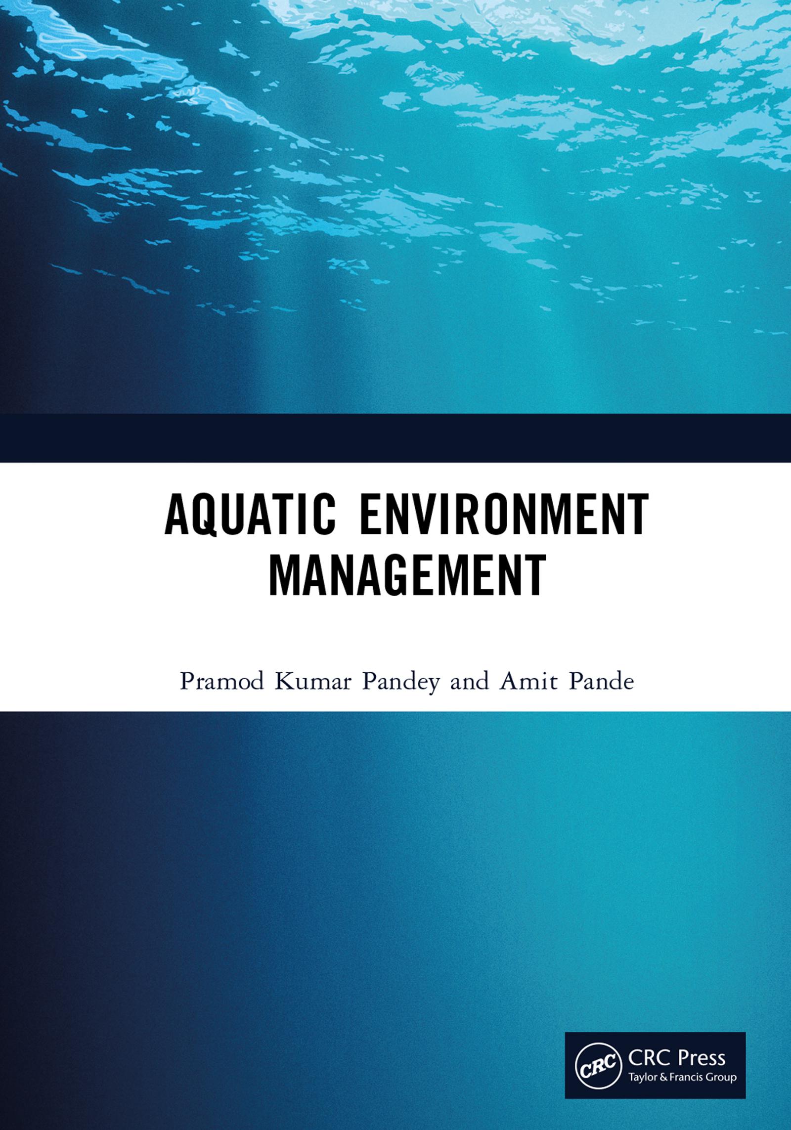
This reference book collates traditional and modern applications of remote sensing in aquatic ecosystem monitoring. It covers conventional assessment methods like sampling, surveying, and chlorophyll estimation. Advanced remote sensing technology provides timely spectral information for quantitative and qualitative assessment of water changes, volume, and vegetation. The book discusses space-borne, airborne, and drone geospatial data. The five sections broadly cover aquatic ecosystem monitoring, vegetation management, advanced modelling practices, and challenges.
Key features
- Covers different types of aquatic ecosystems like wetlands, rivers, lakes, saline, and brackish
- Reviews the latest applications of remote sensing in the monitoring and assessment of aquatic ecosystems
- Includes traditional methods like cartography, sampling, surveying, phytoplankton assessment and chlorophyll estimation
- Discusses the application of artificial intelligence, machine learning, data fusion in monitoring aquatic systems
- Explores the prospects of future Earth observation space missions for aquatic ecosystem monitoring
The book is meant for scientists, professionals, and policymakers working in environmental sciences, remote sensing, and geology.
Maksa helposti kortilla, Klarnalla, Apple Paylla tai Google Paylla. Etkö ole tyytyväinen? Sinulla on aina 14 päivän palautusoikeus. Lue lisää ehdoistamme. Jos sinulla on kysyttävää, lähetä meille sähköpostia osoitteeseen hello@memmo.org.
Memmo tekee opiskelusta helpompaa – missä päin maailmaa ikinä oletkin. Meillä yhdistät kurssikirjat ja fiksut opiskelutyökalut yhteen paikkaan: tiivistelmät, visat, podcastit ja muistikortit. Ja sitten Ted, opiskelukaverisi, joka vastaa kaikkeen, mitä ikinä mietitkin. Yli 50 000 opiskelijaa opiskelee jo täällä – rakennettu auttamaan sinua oppimaan nopeammin ja stressaamaan vähemmän.