
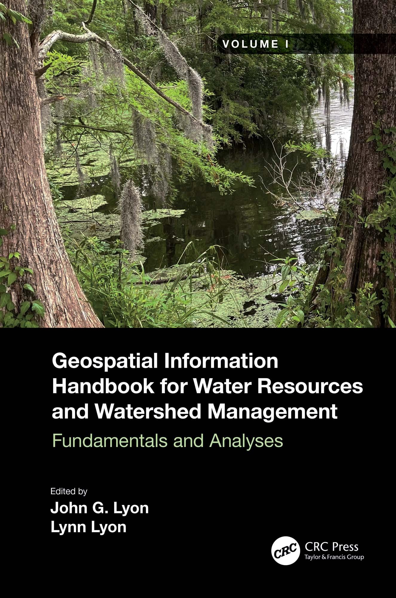
Volume I of Geospatial Information Handbook for Water Resources and Watershed Management discusses fundamental characteristics, measurements, and analyses of water features and watersheds including lakes and reservoirs, rivers and streams, and coasts and estuaries. It presents contemporary knowledge on Geospatial Technology (GT)–supported functional analyses of water runoff, storage and balance, flooding and floodplains, water quality, soils and moisture, climate vulnerabilities, and ecosystem services.
- Captures advanced Geospatial Technologies (GTs) addressing a wide range of water issues
- Provides real-world applications and case studies using advanced spectral and spatial sensors combined with geospatially facilitated water process models
- Details applications of ArcInfo/ArcGIS, Google Earth Engine, and other systems using advanced remote sensors, including hyperspectral ER2 AVIRIS, Sentinel-1 and -2, MODIS, Landsat 7 ETM+, Landsat 8 OLI and TIPS, SAR radar, and thermal imaging
- Global in coverage with applications contributed by more than 170 authors with lifelong expertise in water sciences and engineering
This handbook is a wide-ranging and contemporary reference of advanced geospatial techniques used in numerous practical applications at the local and regional scales and is an in-depth resource for professionals and the water research community worldwide.
Maksa helposti kortilla, Klarnalla, Apple Paylla tai Google Paylla. Etkö ole tyytyväinen? Sinulla on aina 14 päivän palautusoikeus. Lue lisää ehdoistamme. Jos sinulla on kysyttävää, lähetä meille sähköpostia osoitteeseen hello@memmo.org.
Memmo tekee opiskelusta helpompaa – missä päin maailmaa ikinä oletkin. Meillä yhdistät kurssikirjat ja fiksut opiskelutyökalut yhteen paikkaan: tiivistelmät, visat, podcastit ja muistikortit. Ja sitten Ted, opiskelukaverisi, joka vastaa kaikkeen, mitä ikinä mietitkin. Yli 50 000 opiskelijaa opiskelee jo täällä – rakennettu auttamaan sinua oppimaan nopeammin ja stressaamaan vähemmän.