
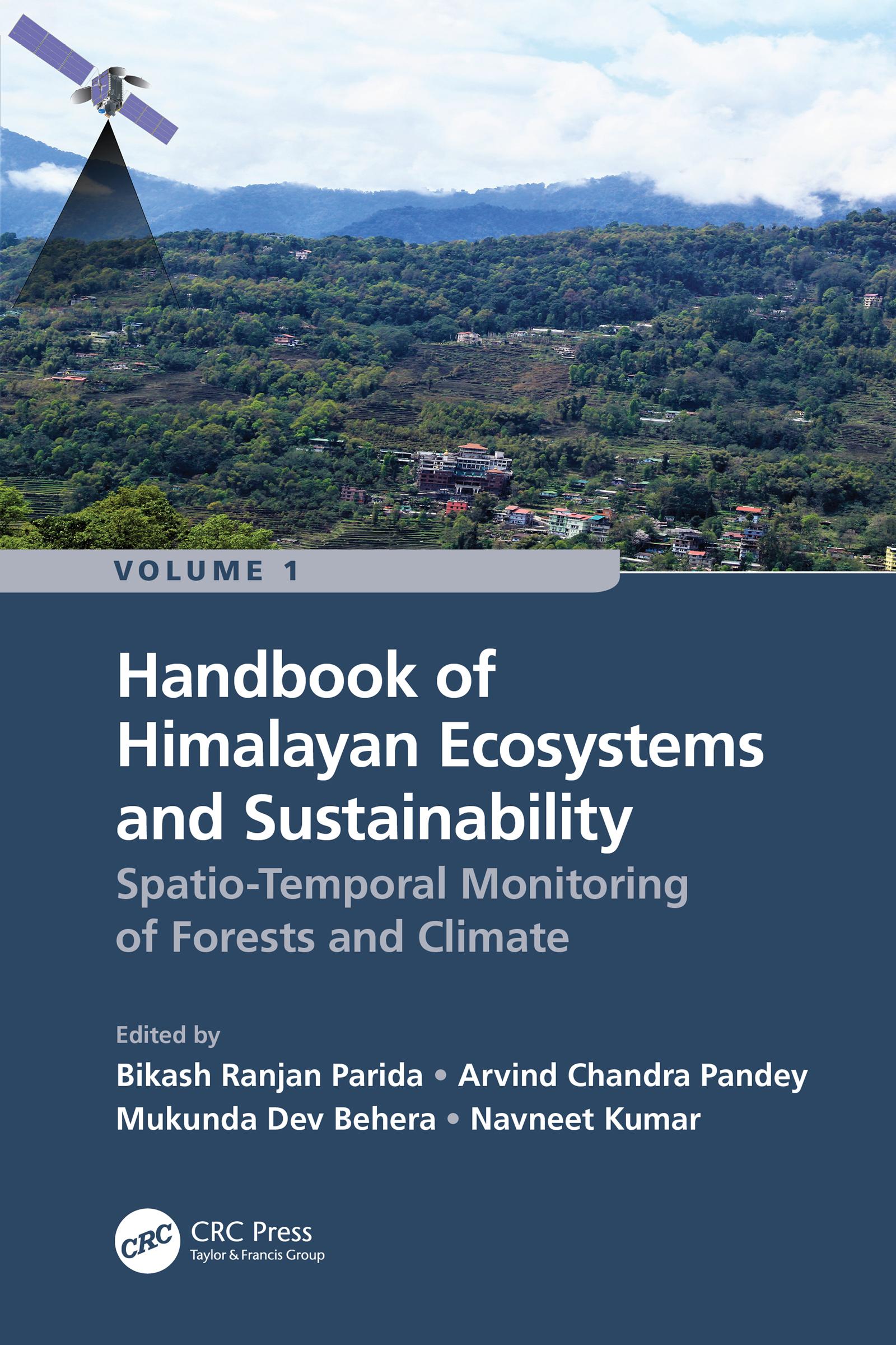
Volume 1: Spatio-Temporal Monitoring of Forests and Climate is aimed to describe the recent progress and developments of geospatial technologies (remote sensing and GIS) for assessing, monitoring and managing fragile Himalayan ecosystems and their sustainability under climate change. It is a collective research contribution from renowned researchers and academicians working in the Hindu Kush Himalayan (HKH) mountain range. The Himalayas ecosystems have been facing substantial transformation due to severe environmental conditions, land transformation, forest degradation and fragmentation. The authors utilized satellite datasets and algorithms to discuss the intricacy of land use/land cover change, forest and agricultural ecosystems, canopy height estimation, above-ground biomass, wildfires, carbon sequestration, and landscape restoration. Furthermore, the potential impacts of climate change on ecosystems, biodiversity and future food and nutritional security are also addressed including the impact on the livelihood of people of the Himalayas. This comprehensive Handbook explains the advanced geospatial technologies for mapping and management of natural resources of the Himalayas.
Key Features
- Explains multiple aspects of geospatial technologies for studying fragile Himalayan ecosystems and sustainability
- Focuses on the utility of interferometric synthetic aperture radar (SAR) modeling for canopy height
- Explain how remote sensing techniques are useful for deriving the above-ground biomass, gross primary productivity (GPP), and carbon fluxes
- Addresses how geospatial technologies are valuable for understanding vegetation dynamics, composition and landscape restoration due to shifts in timberline and forest fires
- Includes contributions from global professionals working in the HKH mountain range
Readership
The Handbook serves as a valuable reference for students, researchers, scientists, ecologists, agricultural scientists, meteorologists, decision makers and all others who wish to advance their knowledge on vegetation remote sensing considering climate change in the HKH region.
Maksa helposti kortilla, Klarnalla, Apple Paylla tai Google Paylla. Etkö ole tyytyväinen? Sinulla on aina 14 päivän palautusoikeus. Lue lisää ehdoistamme. Jos sinulla on kysyttävää, lähetä meille sähköpostia osoitteeseen hello@memmo.org.
Memmo tekee opiskelusta helpompaa – missä päin maailmaa ikinä oletkin. Meillä yhdistät kurssikirjat ja fiksut opiskelutyökalut yhteen paikkaan: tiivistelmät, visat, podcastit ja muistikortit. Ja sitten Ted, opiskelukaverisi, joka vastaa kaikkeen, mitä ikinä mietitkin. Yli 50 000 opiskelijaa opiskelee jo täällä – rakennettu auttamaan sinua oppimaan nopeammin ja stressaamaan vähemmän.