
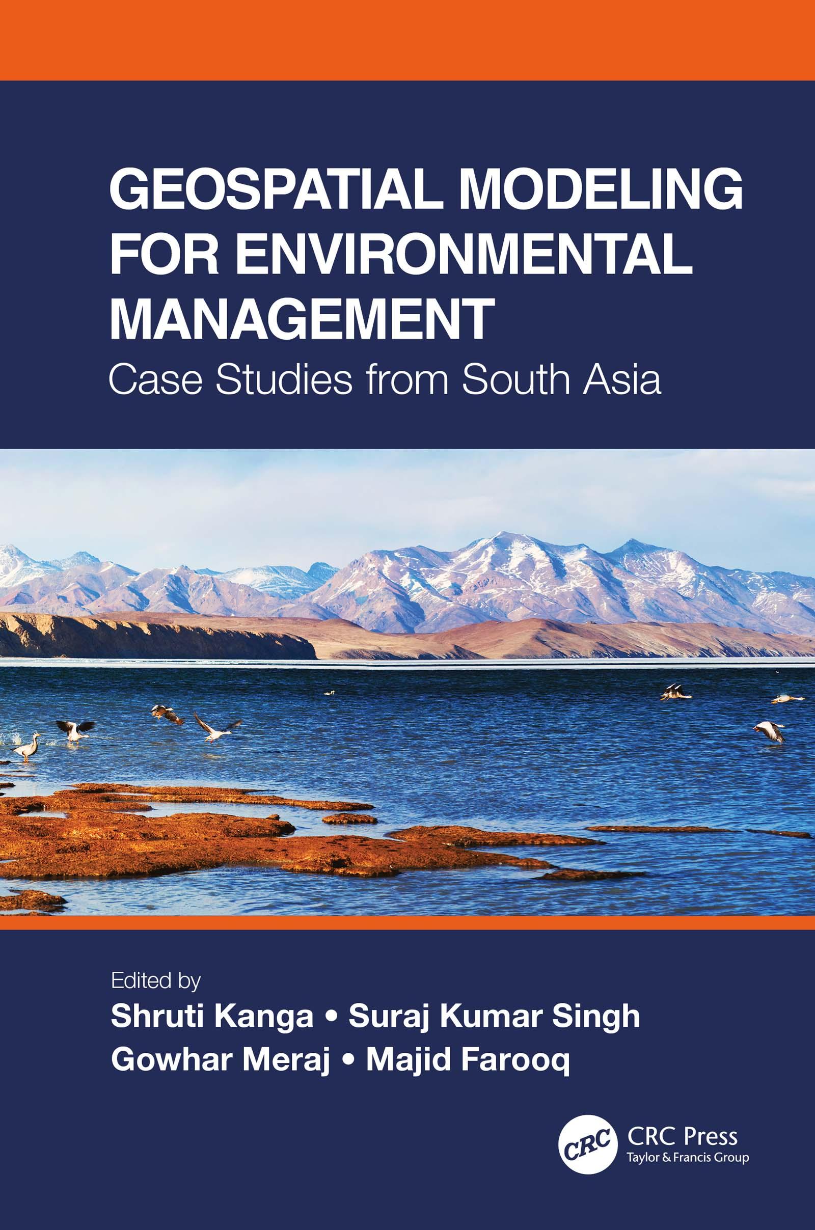
This is a comprehensive resource that integrates the application of innovative remote sensing techniques and geospatial tools in modeling Earth systems for environmental management beyond customary digitization and mapping practices. It identifies the most suitable approaches for a specific environmental problem, emphasizes the importance of physically based modeling, their uncertainty analysis, advantages, and disadvantages. The case studies on the Himalayas with a complex topography call for innovation in geospatial techniques to find solutions for various environmental problems.
Features:
- Presents innovative geospatial methods in environmental modeling of Earth systems.
- Includes case studies from South Asia and discusses different processes and outcomes using spatially explicit models.
- Explains contemporary environmental problems through the analysis of various information layers.
- Provides good practices for developing countries to help manage environmental issues using low-cost geospatial approaches.
- Integrates geospatial modeling with policy and analysis its direct implication in decision making.
Using a systems’ approach analysis, Geospatial Modeling for Environmental Management: Case Studies from South Asia shall serve environmental managers, students, researchers, and policymakers.
Maksa helposti kortilla, Klarnalla, Apple Paylla tai Google Paylla. Etkö ole tyytyväinen? Sinulla on aina 14 päivän palautusoikeus. Lue lisää ehdoistamme. Jos sinulla on kysyttävää, lähetä meille sähköpostia osoitteeseen hello@memmo.org.
Memmo tekee opiskelusta helpompaa – missä päin maailmaa ikinä oletkin. Meillä yhdistät kurssikirjat ja fiksut opiskelutyökalut yhteen paikkaan: tiivistelmät, visat, podcastit ja muistikortit. Ja sitten Ted, opiskelukaverisi, joka vastaa kaikkeen, mitä ikinä mietitkin. Yli 50 000 opiskelijaa opiskelee jo täällä – rakennettu auttamaan sinua oppimaan nopeammin ja stressaamaan vähemmän.