
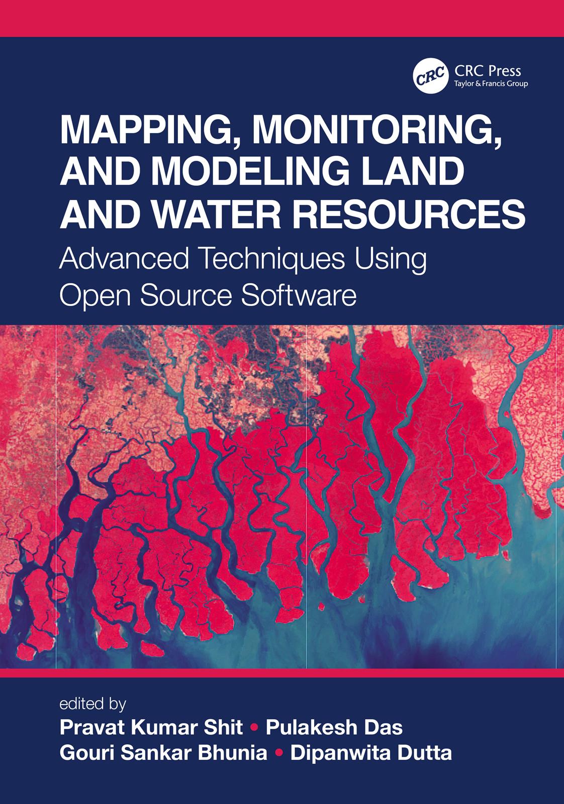
The wide range of challenges in studying Earth system dynamics due to uncertainties in climate change and complex interference from human activities is creating difficulties in managing land and water resources and ensuring their sustainable use. Mapping, Monitoring, and Modeling Land and Water Resources brings together real-world case studies accurately surveyed and assessed through spatial modeling. The book focuses on the effectiveness of combining remote sensing, geographic information systems, and R. The use of open source software for different spatial modeling cases in various fields, along with the use of remote sensing and geographic information systems, will aid researchers, students, and practitioners to understand better the phenomena and the predictions by future analyses for problem-solving and decision-making.
Maksa helposti kortilla, Klarnalla, Apple Paylla tai Google Paylla. Etkö ole tyytyväinen? Sinulla on aina 14 päivän palautusoikeus. Lue lisää ehdoistamme. Jos sinulla on kysyttävää, lähetä meille sähköpostia osoitteeseen hello@memmo.org.
Memmo tekee opiskelusta helpompaa – missä päin maailmaa ikinä oletkin. Meillä yhdistät kurssikirjat ja fiksut opiskelutyökalut yhteen paikkaan: tiivistelmät, visat, podcastit ja muistikortit. Ja sitten Ted, opiskelukaverisi, joka vastaa kaikkeen, mitä ikinä mietitkin. Yli 50 000 opiskelijaa opiskelee jo täällä – rakennettu auttamaan sinua oppimaan nopeammin ja stressaamaan vähemmän.