
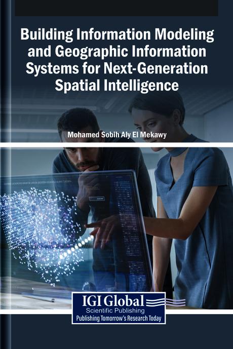
The integration of building information modeling (BIM) and geographic information systems (GIS) develops innovative spatial intelligence. BIM provides detailed representations of built environments, while GIS captures the geographical and environmental context in which these structures exist. When combined, these systems enable a seamless flow of spatial information, from individual buildings to entire cities, enhancing decision-making in urban planning, infrastructure management, and sustainable development. This convergence fosters a more holistic understanding of spatial relationships, supporting smarter, data-driven approaches to design, construction, and governance in an interconnected world. Building Information Modeling and Geographic Information Systems for Next-Generation Spatial Intelligence explores the convergence of BIM and GIS in the field of urban planning. It examines how the integration of these tools revolutionizes the design, analysis, and management of urban environments for smarter, more sustainable cities. This book covers topics such as data science, civil engineering, and environmental science, and is a useful resource for engineers, policymakers, academicians, researchers, and scientists.
Páginas: 294
Categoría: Arkitektur & Stadsplanering
e-ISBN: 9798337340616
Peso de envío: 1.2 kg
Envío en: 1-2 días
Paga fácilmente con tarjeta, Klarna, Apple Pay o Google Pay. ¿No estás contento? Siempre tienes 14 días de garantía de devolución. Lee más en nuestros términos. Si tienes preguntas, escríbenos a hello@memmo.org.
Memmo hace que estudiar sea más fácil, estés donde estés. Aquí tienes tus libros de texto y herramientas de estudio inteligentes en un solo lugar: resúmenes, quizzes, podcasts y flashcards. Y también a Ted, tu compañero de estudio que responde a todo lo que te preguntes. Más de 50 000 estudiantes ya estudian aquí. Está hecho para que aprendas más rápido y te estreses menos.
También te podría gustar
Comprar el libro0