
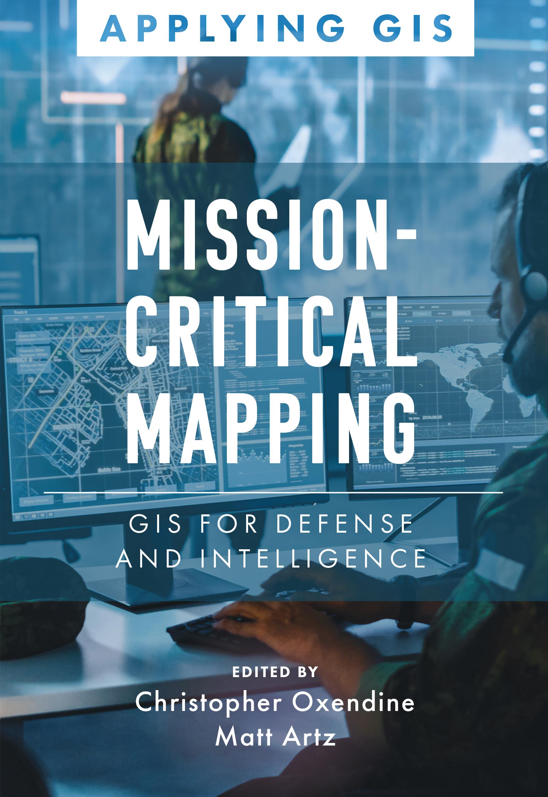
Discover a geographic approach to defense and intelligence.
Mission-Critical Mapping: GIS for Defense and Intelligence explores a collection of real-life stories about defense and intelligence organizations successfully using GIS to manage their high-stakes work.
Defense organizations use ArcGIS to enable joint all-domain operations and provide data integration, analytics, and a decision support framework for all defense functions. GIS infrastructure allows data to flow seamlessly from headquarters to the tactical edge. This data integration, analytics, and decision support framework supports the following in a dynamic information environment:
- Joint all-domain operations
- Data analysis and visualization
- Knowledge management
- Improved decision-making
Mission-Critical Mapping: GIS for Defense and Intelligence shares examples of organizations effectively using GIS to improve defense operations and readiness, intelligence collection and collaboration, and humanitarian assistance. The book also includes a section on next steps that provides ideas, strategies, tools, and actions to help jump-start your own use of GIS for defense and intelligence applications. A collection of online resources, including additional stories, videos, new ideas and concepts, and downloadable tools and content, complements this book.
Paga fácilmente con tarjeta, Klarna, Apple Pay o Google Pay. ¿No estás contento? Siempre tienes 14 días de garantía de devolución. Lee más en nuestros términos. Si tienes preguntas, escríbenos a hello@memmo.org.
Memmo hace que estudiar sea más fácil, estés donde estés. Aquí tienes tus libros de texto y herramientas de estudio inteligentes en un solo lugar: resúmenes, quizzes, podcasts y flashcards. Y también a Ted, tu compañero de estudio que responde a todo lo que te preguntes. Más de 50 000 estudiantes ya estudian aquí. Está hecho para que aprendas más rápido y te estreses menos.